September into November is the autumn stretch that defines the Sturgeon River near Wolverine. Fall-window median discharge sits near 214.5 cfs, inside a reliable band between about 197 and 259 cfs — a narrow band that holds more year-to-year than most northern Lower Peninsula options. Check USGS gauge 04127997 and the MDNR fishing regulations before you leave.
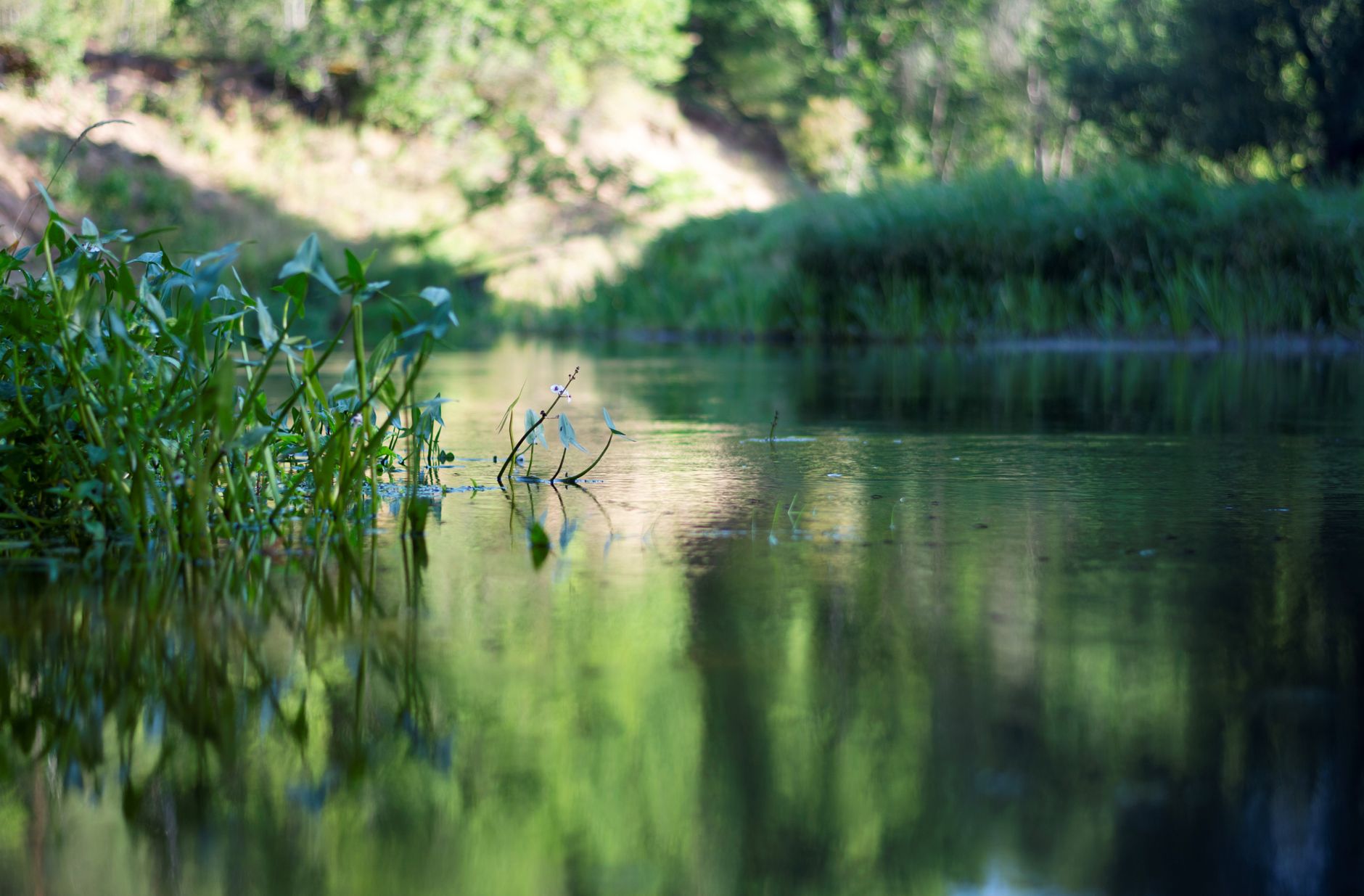
Photo by Vitali Adutskevich on Pexels
Sturgeon River Fishing: Wolverine Gauge Autumn Band
7 min read
Waterbody Guide
Sturgeon River near Wolverine: September–November fall median discharge near 214.5 cfs, inside a reliable 197–259 cfs band for northern Lower Peninsula trips.
Your plans
Flow reliability
Seasonal consistency of median discharge from the curated USGS gauge for this place.
Spring
87%
year-to-year consistency
Summer
91%
year-to-year consistency
Fall
85%
year-to-year consistency
Winter
92%
year-to-year consistency
Median monthly discharge (cfs)
| Jan | Feb | Mar | Apr | May | Jun | Jul | Aug | Sep | Oct | Nov | Dec |
|---|---|---|---|---|---|---|---|---|---|---|---|
| 214 | 214 | 245 | 298 | 246 | 215 | 208 | 193 | 198 | 217 | 227 | 227 |
In the last 10 falls, roughly 4 of every 7 September–November weeks sat inside this band (197–258 cfs); typical flow in those weeks 213 cfs.
Computed from 10 years of USGS daily records, station 04127997 (3,615 daily values). Last computed Oct 19, 2026.
Hydrological description only — not advice about wading, floating, or whether conditions are safe for recreation. Always check current USGS readings and local guidance before you go.
Reading Conditions

The morning of your trip, check two things: the gauge and the forecast. The USGS monitoring location at Wolverine, station 04127997, updates continuously, and it's the single most useful piece of data for this river. The water data page at waterdata.usgs.gov/monitoring-location/04127997/ gives you current discharge, and you can compare it against the 10-year percentiles.
Here's what the numbers mean for fishing:
- Flows between 197 and 259 cfs: the river is in its typical fall window. fishable, predictable.
- Flows above 324 cfs (the p90 mark): the river is pushing hard. The water will be stained, the wading will be tough, and the fish will be pinned to the banks or holding in soft water behind structure.
- Flows below 181 cfs (the p10 mark): the river is skinny. The fish will be concentrated in the deepest holes, and you'll need to slow your presentation down.
The weather for the area shows a typical August pattern as of the most recent update: mostly sunny, high around 75°F, low around 61°F, wind at 10 mph. That's a comfortable fishing day, but it's also the kind of weather that draws crowds to the easy access points. If you're fishing on a sunny weekend in August, expect company at the put-ins.
Wind matters on this river less than it does on the big water, but it still affects casting. The river is narrow enough that a 10 mph wind will push your drift and complicate accurate casts to the far bank. The wind changes the plan on the big water, and on the Sturgeon, it changes the plan on the open stretches where the river widens out.
Water clarity on the Sturgeon is generally good. It's a cold, spring-fed system, and it runs clear except after significant rain. The gauge reading will tell you more than any clarity report will, because the flow and the clarity are directly linked on this river.
Access

Access here is not a given. The Sturgeon River runs through a mix of private land and public parcels, and the launch points are limited. The village of Wolverine is the anchor for most anglers, and the USGS gauge at Wolverine (station 04127997) sits right in the heart of the fishable stretch. That's convenient because you can check the gauge reading and look at the river in the same trip.
Most anglers underestimate how much of the river's shoreline is privately held. You cannot walk the bank for miles the way you can on some of the bigger northern Michigan rivers. The public access points are what they are, and you need to work from them. Bring a backup access in case your first choice has a full parking lot or a muddy launch.
The river's GPS position at 45.838029, -86.666808 puts it roughly in the Wolverine area, and that's where the practical fishing access concentrates. The water class is listed as river, which means the standard inland stream regulations apply rather than Great Lakes or inland lake rules. That distinction matters for how you read the regs.
Rangers and local tackle shop owners will tell you the same thing: the river fishes best when you're willing to walk. The easiest access points see pressure, and the fish in those stretches get educated by midsummer. The stretches that require a longer walk or a more awkward bank approach fish better, simply because fewer people work them.
Species Presence

The species list for the Sturgeon River comes from iNaturalist observations, and it's a solid representation of what's actually in the system. Six species have been documented, and the counts tell you what the fishery is really about.
Smallmouth bass lead the list with 10 observations. That's the bread-and-butter species on this river. The Sturgeon has the right mix of riffles, runs, and deep holes that smallmouth like, and the clear water means you'll often see the fish before you cast to them. The 10 observations across the system suggest a healthy, well-distributed population.
Northern pike come in second with 6 observations. The pike in the Sturgeon tend to be river fish rather than lake fish, which means they're leaner and more aggressive. They'll hold in the slower stretches, behind log jams, and along the undercut banks where they can ambush smaller fish.
Lake whitefish show 4 observations, which is a bit unusual for a river system but not unheard of in northern Michigan. These are likely fish that move up from Burt Lake or the other connecting waters, and they're a sign of the river's cold, clean character.
Walleye and yellow perch each show 2 observations. The walleye are the ones most anglers are after, and they're present in the deeper holes and the slower pools. The perch are likely river residents that hang in the same habitat as the smallmouth.
Largemouth bass show just 1 observation. They're not a primary target on this river, but they do show up in the slower, weedier stretches.
The species mix tells you something important: this is a cool-water river with a warm-water fishery. The smallmouth and pike are the targets, the walleye are a bonus, and the whitefish are a sign of water quality. You're not coming here for [Chinook salmon](https://www.michigan.gov/dnr/managing-resources/fisheries/stocking) or [steelhead](https://www.michigan.gov/dnr/managing-resources/fisheries/stocking) runs. This is a river for anglers who like to work for their fish with light tackle and moving presentations.
Read the stocking notes, then verify locally. The Michigan DNR maintains a stocking portal and a searchable FishStock database at dnr.state.mi.us/fishstock that let you see what's been put into the system. But stocking records only tell you what went in. The iNat observations and your own eyes tell you what's actually there.
To compare this river’s fall discharge consistency against other gauged Michigan rivers, see Michigan rivers ranked by fall flow reliability.
Practical Takeaways
- Check the USGS gauge at Wolverine (station 04127997) the morning of your trip. Target flows between 197 and 259 cfs for the most predictable fishing. Below 181 cfs, slow down and fish deep. Above 324 cfs, consider a different plan.
- The fall window from September through November is the most reliable season on this river. The 10-year median discharge in that window is 214.5 cfs, which is workable and fishable. The spring runoff in April runs higher at 298 cfs median and fishes differently.
- Confirm the season and size limit on the MDNR regs page before you target a specific species. The state fishing guide covers the full regulatory picture, and the river's inland classification means standard stream rules apply. Verify what's open when you're planning to go.
- Access is limited. The Wolverine area is the practical center of the fishery, and the gauge is right there. Expect private shoreline outside the public access points. Bring a backup access in case your first choice is full.
- Smallmouth bass are the primary target with 10 documented observations. Northern pike follow at 6, lake whitefish at 4, walleye and yellow perch at 2 each, and largemouth bass at 1. Fish accordingly.
- The river responds quickly to rain. Check the forecast and the gauge together. A sunny day with stable flows is the ideal window. If flows are up, wait a day or two for the river to settle.
- This is not a big-water fishery. Wind matters less here than on the Great Lakes, but a 10 mph wind will still complicate casting on the open stretches. Plan your presentation around the wind direction rather than fighting it.
Final Thoughts
Skip the drive if the gauge is running above 324 cfs or below 181 cfs. The Sturgeon River is a precision fishery, not a power fishery. It rewards anglers who check the data, respect the access limits, and fish the conditions rather than forcing them. When the flows are in the window and the smallmouth are active, it's as good as northern Michigan gets for wade fishing. When they're not, the river will humble you quickly. The fishing overview for Michigan covers the broader picture, and the state fishing guide is worth a read if you're planning a northern Michigan trip. The Sturgeon is a river you fish on its terms, not yours.
When This Water Is Worth the Drive
The Sturgeon River is not a year-round fishery in the way that a Great Lakes tributary is. It runs cold, it runs clear, and it runs through a watershed that responds quickly to rain. The monthly median flows from the USGS gauge at Wolverine show the pattern plainly: August sits at 190 cfs, September at 195, October at 215.5, and November at 227. The river holds its volume through fall better than it does in late summer, which matters if you're wading.
As of 2026, the river's fall flow window sits in a comfortable band. The 10-year percentile data at station 04127997 shows the middle 50 percent of September through November flows landing between 197 and 259 cfs, with the median discharge in that window at 214.5 cfs. That's a fishable range. When the river drops below the p10 mark of 181 cfs, the shallow runs get skinny and the fish pull into the deeper holes. If flows are up, wait.
The spring window is the second option. April's median flow of 298 cfs is the highest of the year, and that runoff pushes fish around. It's fishable, but it's not the same river you'll see in October. The seasonal reliability numbers tell the story: summer rates at 0.894, fall at 0.843, spring at 0.867, winter at 0.921. Winter is actually the most consistent season on this river, though ice and snow access complicate things for most anglers.
Confirm the season and size limit on the MDNR regs page before you plan around a specific species. The Michigan DNR maintains the full regulatory framework for the Sturgeon River at their laws and regs portal, and that's the only reliable way to verify what's open when you're planning to go.
Sources
- Official source: Michigan DNR michigan.gov/dnr/things-to-do/fishing/fishing-regulations
- Official source: Michigan DNR michigan.gov/dnr/managing-resources/fisheries/stocking
Photo Gallery
More to Explore
Waterbody Guide
Grand River Fishing: Grand Rapids Gauge & November Push
Grand River at Grand Rapids: start with the gauge, not the calendar — fall median discharge near 3,570 cfs inside a wide 2,310–5,827.5 cfs band.
Waterbody Guide
Kalamazoo River Fishing: New Richmond Fall Flow Band
Kalamazoo River fishing: character shifts from headwaters to the Lake Michigan mouth, with fall median discharge near 1,770 cfs and water around 52°F (11.2°C).
Waterbody Guide
St. Joseph River Fishing: Niles Gauge & Berrien Reaches
St. Joseph River: lower water below Niles takes on Big Lake runs while Berrien reaches fish warmer, with fall median discharge near 3,520 cfs at Niles.
Waterbody Guide
Rifle River Fishing: Sterling Gauge to Saginaw Bay
Rifle River toward Omer and Saginaw Bay: access limits the day more than desire, with fall median flow near 239.3 cfs and water around 47°F (8.5°C).
Waterbody Guide
Boardman River Fishing: Beitner Road Fall Consistency
Boardman River near Traverse City: fall median discharge near 259.5 cfs at Beitner Road, inside a reliable 234–307 cfs band for late-season trips.
Waterbody Guide
Muskegon River Fishing Guide: Access, Conditions & Seasons (2026)
Muskegon River fishing from Newaygo to the mouth: late-summer flows near 1,330 cfs, fall steelhead and salmon runs, plus access, seasons, and tactics for 2026.
Sign in to join the conversation.
Sources & Attribution
Fishing regulations and waters information should be verified with the relevant state wildlife agency before you fish.
Images: Photo by Vitali Adutskevich on Pexels; Photo by chandra diantara on Pexels; Photo by 424fotograf on Pexels; Photo by Meruyert Gonullu on Pexels. Stock photos from Pexels / Unsplash license; links above point to each photo where available.
Map data © OpenStreetMap contributors.
Information may change. Always verify seasons, licenses, and local regulations with the official source before you fish.
Did this guide help? Share it with a friend.