The Muskegon River runs about 220 miles from Houghton Lake to Lake Michigan, and the stretch most anglers work between Newaygo and the mouth is a different river every month of the year. As of 2026, the USGS gauge at Bridge Street in Newaygo (station 04122001) is the one to check before you leave. August median discharge sits near 1,330 cfs — the river runs near its late-summer lows. The river's fall steelhead run and the Chinook salmon push in September and October are what put this system on most Michigan anglers' radar, but the water holds a lot more than salmon, and the access situation varies sharply depending on which section you target.
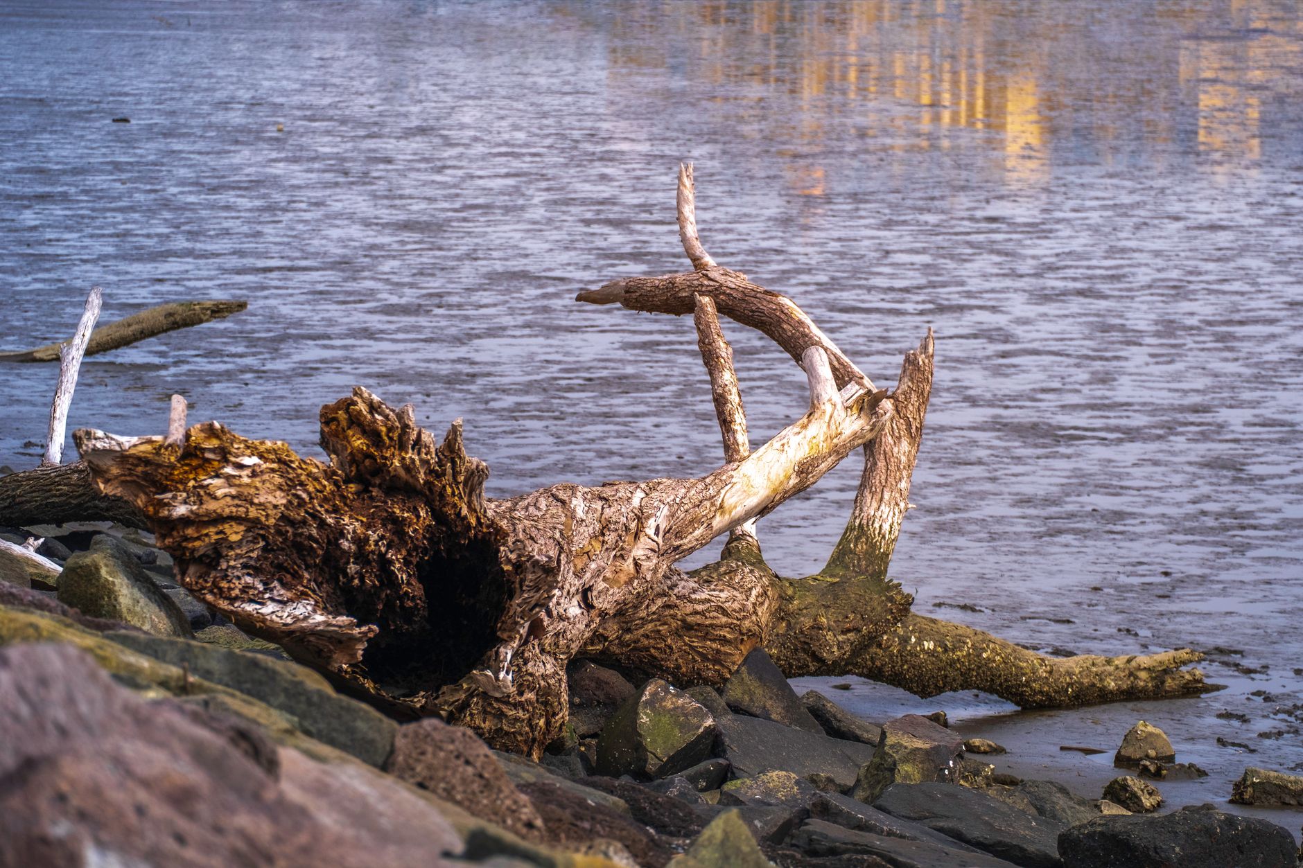
Photo by Oliver Hu on Pexels
Muskegon River Fishing Guide: Access, Conditions & Seasons (2026)
9 min read
Waterbody Guide
Muskegon River fishing from Newaygo to the mouth: late-summer flows near 1,330 cfs, fall steelhead and salmon runs, plus access, seasons, and tactics for 2026.
Your plans
Flow reliability
Seasonal consistency of median discharge from the curated USGS gauge for this place.
Spring
74%
year-to-year consistency
Summer
89%
year-to-year consistency
Fall
76%
year-to-year consistency
Winter
81%
year-to-year consistency
Median monthly discharge (cfs)
| Jan | Feb | Mar | Apr | May | Jun | Jul | Aug | Sep | Oct | Nov | Dec |
|---|---|---|---|---|---|---|---|---|---|---|---|
| 2800 | 2570 | 3145 | 4720 | 3490 | 2505 | 1540 | 1330 | 1370 | 1835 | 2660 | 2290 |
In the last 9 falls, roughly 1 of every 4 September–November weeks sat inside this band (1650–3480 cfs); typical flow in those weeks 2410 cfs.
Computed from 9 years of USGS daily records, station 04122001 (1,370 daily values). Last computed Oct 19, 2026.
Hydrological description only — not advice about wading, floating, or whether conditions are safe for recreation. Always check current USGS readings and local guidance before you go.
If you have not fished the Muskegon before, start with the MDNR fishing regulations before you buy anything. The Muskegon has specific gear and season restrictions on the steelhead and salmon runs that change by river section, and assuming the rules are the same everywhere is the most common mistake first-time visitors make.
Conditions and Gauge
Check the gauge before you leave. That is not a suggestion, it is the difference between a productive morning and a wasted drive.
The USGS station at Bridge Street in Newaygo is the most reliable real-time flow reference for the middle river. Monthly median flows over the 10-year period from 2017 to 2026 show the seasonal shape clearly: April runs highest at 4,720 cfs median, May drops to 3,490 cfs, and the river settles into summer at 1,540 cfs in July and 1,330 cfs in August. Fall brings a modest bump to 1,370 cfs in September and 1,835 cfs in October as rains return.
The fall window for salmon and steelhead movement is most consistent when discharge sits between the 25th and 75th percentiles, roughly 1,650 to 3,480 cfs at the Newaygo gauge, with a median of about 2,410 cfs in that window. What that means in practice: if the gauge reads under 1,600 cfs in September, the fish are holding in the deeper holes and you will need to slow your presentation way down. If it blows past 3,500 cfs, the river is pushing hard, the water is off-color, and most anglers shift to the lower sections near the lake where fish stage before pushing upstream.
One more gauge note: the seasonal reliability scores from the same 10-year dataset put summer at 0.886 and fall at 0.761. Translated, summer flows are the most predictable of the year, while fall can swing hard from year to year. Plan around that variability.
Water temperature is not consistently reported at the Newaygo gauge, so you will need to verify current temps locally or through nearby monitoring. In a normal year, the river runs too warm for trout by late July and most of August, with surface temps in the 70s. The salmon run in September depends on cooling nights, and a warm September can stall the run for weeks.
Access

Access here is not a given. The Muskegon is not lined with public launch ramps every few miles, and large stretches of the river run through private property. You need to know where the public access points are before you launch or wade.
The most reliable public access points on the middle and lower river include:
- Newaygo - the Bridge Street area gives you access near the USGS gauge, with summer bank water and a launch used by drift boats during the fall runs.
- Croton Dam - the tailwater below Croton is a classic steelhead and salmon spot in fall and winter, with a public access area below the dam. This is one of the few places where you can fish from shore effectively during the runs.
- Henning Park in Newaygo - a smaller access that gets crowded during the October salmon push.
- Bridgeton - a popular launch for the lower river, especially for anglers working the stretch between Bridgeton and the Muskegon Lake channel.
The lower river below Newaygo is the most accessible by boat, but it is also the most heavily pressured during the fall runs. Drift boats and small jet boats work this water daily in September and October, and the launch queues back up by mid-morning on weekends.
For wade anglers, the water between Croton Dam and Newaygo is the most practical. The river is smaller, the current is manageable at summer flows, and there are gravel bars and riffles that hold fish without needing a boat. Bring a backup access. If the lot at Henning Park is full, head to the Croton tailwater or check the Bridgeton launch rather than trying to park along the road, which is private property in most spots.
Seasons and Regulations

On the Muskegon, legality is stretch-specific: Croton tailwater, the Newaygo middle river, and the Bridgeton-to-lake reach do not always share the same gear or date rules. Pull the current MDNR fishing regulations for the exact segment you plan to fish, and treat that page as the authority over any guidebook summary.
Key season windows that drive most Muskegon fishing:
- Chinook salmon - the run typically starts building in late August and peaks in September and October. The river sees the bulk of the push after the first few cool nights drop water temps below 70 degrees.
- Steelhead - fall-run steelhead follow the salmon starting in October and continue through the winter. The best window is often November through March, with a second push in spring.
- Trout season - the standard Michigan inland trout season applies, and the river holds resident brown trout and rainbow trout that can be targeted outside the salmon and steelhead runs.
The MDNR stocking portal and the FishStock database list what has been stocked in the Muskegon system. Use those notes as a starting point for Croton versus lower-river expectations, then verify locally rather than assuming last year's plant map still holds.
Gear and Method Restrictions
The Muskegon is a big river, and most anglers use conventional gear or fly gear depending on the season. There is no statewide ban on bait on the main stem, but Croton's special-regulation pockets and some tributary mouths can differ from open main-stem rules. If you are fishing the Croton tailwater, verify whether the special regulation area rules apply before you rig up.
Species Presence

The Muskegon River supports a wider species mix than most anglers expect. The iNaturalist observation data for the river lists 12 confirmed fish species, which gives you a practical picture of what is actually in the water:
- Largemouth Bass - 19 observations, the most recorded species in the dataset. These hold in the slower sections and backwaters, especially in the lower river near Muskegon Lake.
- Chinook Salmon - 10 observations, confirming the fall run presence. This is the species most anglers are after in September and October.
- Rainbow Trout - 8 observations, including the steelhead strain that runs from Lake Michigan.
- Yellow Perch - 6 observations, mostly in the lower river and the backwaters near the lake.
- Brown Trout - 5 observations, the resident trout species that holds in the colder sections and below the dams.
- Smallmouth Bass - 4 observations, scattered through the middle river where the current breaks create feeding lies.
- Northern Pike - 3 observations, primarily in the slower, weedy sections.
- Coho Salmon - 2 observations, less numerous than Chinook but present in the fall.
- Lake Trout - 2 observations, likely fish that have come up from Lake Michigan and hold in the deeper lower river pools.
- Walleye - 1 observation, present but not a primary target on the main stem.
- Lake Whitefish - 1 observation, a Lake Michigan fish that occasionally pushes into the lower river.
- Muskellunge - 1 observation, present in the system but rare enough that you should not plan around them.
The Chinook salmon run is the headline event, and steelhead are the year-round workhorse species. For trout anglers, the brown trout and rainbow trout presence is consistent enough to make the river a legitimate target outside the salmon seasons.
Tactics That Match Conditions
The right approach changes completely depending on the month and the gauge reading. If flows are up, wait. Fishing a blown-out Muskegon in October is a waste of a day, and the fish will not bite well until the water starts dropping and clearing.
Fall Salmon and Steelhead (September through November)
When the gauge at Newaygo is between 1,650 and 3,480 cfs, the fall window is active. Most anglers switch to spawn sacs, skein, or beads fished under a float, drifting them through the deeper runs and slots where salmon and steelhead hold. Fly anglers use egg patterns, flesh flies, and streamers in the same water.
The Croton Dam tailwater is the most consistent spot because the fish stack up below the dam before moving upstream. The lower river between Bridgeton and Muskegon Lake holds staging fish, and drift boats work this stretch hard. If you are wading, focus on the inside bends and the tailouts of deep pools where fish rest on their way upstream.
Winter Steelhead (December through March)
Winter steelhead fishing on the Muskegon is a cold, slow grind. The fish are in the system, but they are lethargic and hold in the deepest, slowest water. Float fishing with spawn or beads in the deeper holes is the standard approach. The gauge is less critical in winter, but if the river is pushing ice, the fishing shuts down entirely.
Spring Steelhead and Trout (April through June)
April is the highest water month on the Muskegon, with a 10-year median of 4,720 cfs. The river is often too high and dirty to fish effectively, and most experienced anglers wait until the flow drops below 3,500 cfs. Once the water clears, the spring steelhead push combines with rising trout activity, and the wading sections between Croton and Newaygo fish well.
Summer Smallmouth and Bass (July and August)
Most anglers skip the Muskegon in summer, but the bass fishing is legitimate. The river drops to 1,330 to 1,540 cfs, the water clears, and the smallmouth and largemouth are active in the slower sections. Topwater lures work in the early morning, and soft plastics fished along current breaks take fish through the day. The water is warm, so practice catch-and-release and handle fish quickly in the heat.
For the broader Michigan picture before you pick a Muskegon section, start with the Michigan fishing guide.
Practical Takeaways
- Pull the Newaygo Bridge Street gauge (04122001) before you leave; compare it to the August median near 1,330 cfs if you are targeting late-summer water, or to the 1,650–3,480 cfs fall band when salmon and steelhead are moving.
- On Muskegon water, check MDNR rules for your specific stretch — Croton, Newaygo, and Bridgeton are not interchangeable.
- In fall, fish the Newaygo window between 1,650 and 3,480 cfs. Lower readings call for slower presentations; higher readings usually mean waiting a day.
- Croton Dam tailwater remains the most dependable shore access when salmon and steelhead stack below the barrier.
- Keep a second put-in in mind. Henning Park and Bridgeton fill early on October weekends.
- Cross-check FishStock plants for the Muskegon system, then ask locally — stocking maps shift year to year.
- By late July, shift effort toward bass water rather than trout lies; the main stem runs warm for coldwater fish.
- Skip a blown-out October Muskegon. The run will still be in the system when the gauge drops and the color clears.
Final Thoughts
The Muskegon River is worth the drive when the conditions line up, and the fall salmon run is one of the more reliable big-fish opportunities in lower Michigan. But it is not a river that rewards showing up blind. The gauge tells you when to go, the regs page tells you what is legal, and the access points determine whether you can actually get to the fish. Skip the trip if the gauge is running high and dirty, if the water is too warm for the run you are chasing, or if you have not verified the current regulations. The river will still be there next week.
Sources
- Official source: Michigan DNR michigan.gov/dnr/things-to-do/fishing/fishing-regulations
Photo Gallery
More to Explore
Waterbody Guide
Grand River Fishing: Grand Rapids Gauge & November Push
Grand River at Grand Rapids: start with the gauge, not the calendar — fall median discharge near 3,570 cfs inside a wide 2,310–5,827.5 cfs band.
Waterbody Guide
Kalamazoo River Fishing: New Richmond Fall Flow Band
Kalamazoo River fishing: character shifts from headwaters to the Lake Michigan mouth, with fall median discharge near 1,770 cfs and water around 52°F (11.2°C).
Waterbody Guide
St. Joseph River Fishing: Niles Gauge & Berrien Reaches
St. Joseph River: lower water below Niles takes on Big Lake runs while Berrien reaches fish warmer, with fall median discharge near 3,520 cfs at Niles.
Waterbody Guide
Rifle River Fishing: Sterling Gauge to Saginaw Bay
Rifle River toward Omer and Saginaw Bay: access limits the day more than desire, with fall median flow near 239.3 cfs and water around 47°F (8.5°C).
Waterbody Guide
Sturgeon River Fishing: Wolverine Gauge Autumn Band
Sturgeon River near Wolverine: September–November fall median discharge near 214.5 cfs, inside a reliable 197–259 cfs band for northern Lower Peninsula trips.
Waterbody Guide
Boardman River Fishing: Beitner Road Fall Consistency
Boardman River near Traverse City: fall median discharge near 259.5 cfs at Beitner Road, inside a reliable 234–307 cfs band for late-season trips.
Sign in to join the conversation.
Sources & Attribution
Fishing regulations and waters information should be verified with the relevant state wildlife agency before you fish.
Images: Photo by Oliver Hu on Pexels; Photo by chandra diantara on Pexels; Photo by Abduljaleel tijjani Muhammad on Pexels; Photo by Meruyert Gonullu on Pexels. Stock photos from Pexels / Unsplash license; links above point to each photo where available.
Map data © OpenStreetMap contributors.
Information may change. Always verify seasons, licenses, and local regulations with the official source before you fish.
Did this guide help? Share it with a friend.