The Boardman River is one of the more calendar-friendly Traverse City systems for late season. Fall-window median discharge at Beitner Road sits near 259.5 cfs, inside a reliable band between about 234 and 307 cfs — that consistency is what makes trips planable when other streams are either blown out or skinny. Before you load the truck, check USGS gauge 04127200 and the MDNR fishing regulations for the stretch you intend to fish.
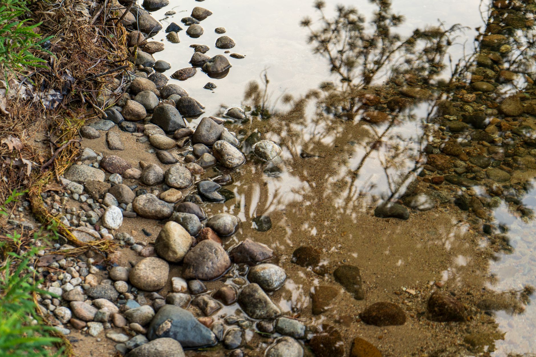
Photo by Matt Barnard on Pexels
Boardman River Fishing: Beitner Road Fall Consistency
8 min read
Waterbody Guide
Boardman River near Traverse City: fall median discharge near 259.5 cfs at Beitner Road, inside a reliable 234–307 cfs band for late-season trips.
Your plans
Flow reliability
Seasonal consistency of median discharge from the curated USGS gauge for this place.
Spring
90%
year-to-year consistency
Summer
93%
year-to-year consistency
Fall
88%
year-to-year consistency
Winter
91%
year-to-year consistency
Median monthly discharge (cfs)
| Jan | Feb | Mar | Apr | May | Jun | Jul | Aug | Sep | Oct | Nov | Dec |
|---|---|---|---|---|---|---|---|---|---|---|---|
| 261 | 260 | 314 | 351 | 307 | 266 | 237 | 225 | 226 | 250 | 263 | 268 |
In the last 9 falls, roughly 4 of every 7 September–November weeks sat inside this band (234–307 cfs); typical flow in those weeks 260 cfs.
Computed from 9 years of USGS daily records, station 04127200 (3,455 daily values). Last computed Oct 19, 2026.
Hydrological description only — not advice about wading, floating, or whether conditions are safe for recreation. Always check current USGS readings and local guidance before you go.
Reading Conditions

The USGS gauge at Beitner Road (station 04127200) is your primary tool for reading the Boardman. The monitoring location page at waterdata.usgs.gov/monitoring-location/04127200/ gives you real-time flow data.
Flow Benchmarks
The ten-year dataset provides clear reference points:
- Low flows (below 234 cfs): The river gets skinny. Fish are concentrated in deeper holes, and you need to approach carefully. This happens most often in late summer - the August median is 225 cfs.
- Typical fall flows (234-307 cfs): This is the sweet spot. The river is fish are moving, and you can cover water effectively. The fall window median of 259.5 cfs sits right in this band.
- High flows (above 368 cfs): The 90th percentile mark. The river moves fast, banks get soft, and wading becomes dangerous. If flows are up, wait. This happens most often in April when the median hits 350.5 cfs.
Water Temperature
The research data does not include specific water temperature readings, so you will need to check conditions locally. The general rule for Great Lakes tributaries applies: salmon move on cooling water in fall, steelhead move on warming water in spring. The river's flow consistency means temperature is often the trigger that matters more than water level.
Clarity
The Boardman runs reasonably clear most of the year. After rain, it will color up briefly, but it recovers faster than clay-bottomed southern Michigan streams. The summer low flows (225 cfs in August) mean gin-clear water and fish that can see you coming. Use lighter line and longer leaders in those conditions.
Wind changes the plan on the big water, but the Boardman is a river - wind matters less here than on Grand Traverse Bay. That said, the lower river near the bay can get wind-affected, especially in fall when northwest winds push water upstream.
Access

Access here is not a given. The Boardman River runs through a mix of public and private land, and the best water is not always the easiest to reach.
Public Access Points
The river is defined as a water class of "river" in the state records, with the GNIS ID 621666. Public access exists at several points along the system, but you should not assume every stretch is open to foot traffic. The most reliable accesses are:
- Beitner Road: This is the location of the USGS gauge (station 04127200), and there is parking nearby. It's a good starting point to check conditions and get on the water.
- Boardman River paddling access sites: The river has designated canoe and kayak access points maintained by local agencies. These double as fishing access in many cases.
- Brown Bridge Quiet Area: This is one of the more reliable public parcels on the river. It's a former dam site with restored river channel.
The Private Shoreline Problem
Most anglers underestimate how much of the Boardman's bank is privately owned. The river flows through residential areas near Traverse City, and large stretches of the lower river have homes right on the bank. You cannot walk the bank through these sections. Bring a backup access - if your planned spot is posted, you need a second option rather than a confrontation.
The upper river, above the main residential areas, has more public land but requires longer walks. Plan for wading distance rather than bank fishing in many sections.
Launch Considerations
The river is paddleable, and a canoe or kayak opens up water that bank anglers cannot reach. The launch sites are generally adequate for car-top boats, but trailer launches are limited. If you plan to float, check the gauge first - the fall window median of 259.5 cfs is good for floating, but the April median of 350.5 cfs will push you faster than you expect.
Species Presence

The iNaturalist data documents 12 species in the Boardman River system, which is a solid representation of what you can expect to encounter. The observation counts give you a sense of relative abundance:
Migratory Species
- Chinook Salmon (25 observations): The most common salmon in the system. Fall is the primary window, and the river's reliable September-November flows make it a consistent destination. See the chinook salmon species page for life history and identification details.
- Coho Salmon (7 observations): Present but less abundant than chinook. They typically run slightly later in the fall.
- Rainbow Trout/Steelhead (14 observations): The spring run is the main event. The April flow spike at 350.5 cfs correlates with the steelhead push. See the steelhead species page for more on the Great Lakes steelhead pattern.
Resident Species
- Brook Trout (15 observations): The native char, holding in cooler upper sections and small tributaries.
- Brown Trout (14 observations): A solid resident population that gets more active in fall and winter.
- Smallmouth Bass (22 observations): More common than most people expect in the lower river. Summer is the best window.
- Largemouth Bass (26 observations): Present in slower sections and backwaters.
- Yellow Perch (41 observations): The highest observation count in the dataset, mostly in the lower river near the bay.
- Lake Trout (10 observations): These are bay fish that occasionally push into the lower river, not a resident river population.
- Northern Pike (9 observations): Lower river and slow sections.
- Walleye (3 observations): Occasional lower river visitors.
- Muskellunge (2 observations): Rare but present in the lower system.
The presence of multiple species in one river system is the Boardman's main strength. You can target salmon in the fall and switch to smallmouth or brook trout presentations in the same day if you move sections.
To compare this river’s fall discharge consistency against other gauged Michigan rivers, see Michigan rivers ranked by fall flow reliability.
Practical Takeaways
- Check the gauge before you leave. The USGS station at Beitner Road (04127200) gives you real-time flow. Target the 234-307 cfs band for the best workable conditions. If flows are up, wait.
- Confirm the season and size limit on the MDNR regs page. Regulations change, and the Boardman has specific rules that differ from other Michigan rivers. The official page is at michigan.gov/dnr/things-to-do/fishing/laws-and-regs.
- Fall is the most reliable window. September-November flows are consistent (fall median 259.5 cfs), and chinook, coho, and brown trout are all active. The 0.884 fall reliability score means the river cooperates more often than not.
- Bring a backup access. Private shoreline is extensive, especially in the lower river. Scout your access points ahead of time and have a plan B if the bank is posted.
- Match your presentation to the flow. At summer lows (225 cfs in August), fish are spooky and the water is clear - use light line and long leaders. At spring highs (350.5 cfs in April), fish are stacked in soft water and you can use heavier presentations.
- The lower river is a mixed bag. Yellow perch (41 observations), largemouth bass (26), and smallmouth bass (22) are all present near the bay. If the salmon bite is slow, you can still catch fish on bass presentations.
- Respect the private land. The Boardman runs through residential areas near Traverse City. Anglers who push past posted signs give the whole community a bad reputation and risk losing access.
- Winter is underrated. The 0.905 winter reliability score and January median of 261 cfs mean the river stays fishable when other options are frozen. Brown trout and steelhead hold through the cold months.
Final Thoughts
Skip the Boardman on summer afternoons when the August flow drops to 225 cfs and the sun is high - the fishing gets technical and the effort rarely pays off. Come back in October when the fall window median of 259.5 cfs combines with cooling water and moving salmon, or in April when the spring push brings steelhead up from the bay. The river rewards patience and preparation, and it punishes anglers who assume access or ignore the gauge. Check the state fishing guide for broader context on Michigan waters, then verify the Boardman-specific details before you load the truck.
When This Water Is Worth the Drive
As of 2026, the Boardman River is best approached as a fall and spring fishery, with summer holding opportunities for resident fish. The river's seasonal reliability scores from the ten-year dataset are solid across all seasons: 0.884 in fall, 0.9 in spring, 0.931 in summer, and 0.905 in winter. No season is a gamble the way some northern Michigan streams can be.
Fall (September-November): This is the window that draws most anglers. Chinook salmon and coho salmon move through the system, and the observation data backs this up - 25 chinook observations and 7 coho observations on iNat. The fall median discharge in the window sits at 259.5 cfs, which is a workable flow for most of the river's accessible sections. Brown trout also become more active as water cools, and the 14 brown trout observations in the data reflect a resident population that gets more cooperative this time of year.
Spring (April-May): Steelhead and rainbow trout show up as the water warms. The April median flow runs 350.5 cfs, the highest monthly median of the year, so expect higher, faster water. The 14 rainbow trout observations in the dataset mostly cluster around spring months. This is when you want to check the gauge and be willing to adjust your approach if flows are up.
Summer (June-August): This is the smallest window for migratory fish, but the resident population keeps the river fishable. Brook trout (15 observations) and brown trout hold in the cooler sections, and smallmouth bass (22 observations) are more active in the lower river. Summer median flows drop to 225-266 cfs depending on the month, which means low clear water and spooky fish. The August median of 225 cfs is the lowest of the year - expect technical presentations and light tippets.
Winter: The river does not freeze solid in most sections, and the 0.905 winter reliability score suggests consistent flows. A few dedicated anglers fish the lower river for steelhead and browns in the cold months. The January median of 261 cfs is actually higher than August, which surprises most people. Access is the limiting factor in winter, not flow.
Confirm the season and size limit on the MDNR regs page before you plan around any specific species. The Michigan DNR maintains the current regulations at michigan.gov/dnr/things-to-do/fishing/laws-and-regs, and the stocking portal at michigan.gov/dnr/managing-resources/fisheries/stocking lets you check what has been planted and when. Read the stocking notes, then verify locally - the FishStock database at dnr.state.mi.us/fishstock/ is the official record for what went in and where.
Sources
- Official source: Michigan DNR michigan.gov/dnr/things-to-do/fishing/fishing-regulations
Photo Gallery
More to Explore
Waterbody Guide
Grand River Fishing: Grand Rapids Gauge & November Push
Grand River at Grand Rapids: start with the gauge, not the calendar — fall median discharge near 3,570 cfs inside a wide 2,310–5,827.5 cfs band.
Waterbody Guide
Kalamazoo River Fishing: New Richmond Fall Flow Band
Kalamazoo River fishing: character shifts from headwaters to the Lake Michigan mouth, with fall median discharge near 1,770 cfs and water around 52°F (11.2°C).
Waterbody Guide
St. Joseph River Fishing: Niles Gauge & Berrien Reaches
St. Joseph River: lower water below Niles takes on Big Lake runs while Berrien reaches fish warmer, with fall median discharge near 3,520 cfs at Niles.
Waterbody Guide
Rifle River Fishing: Sterling Gauge to Saginaw Bay
Rifle River toward Omer and Saginaw Bay: access limits the day more than desire, with fall median flow near 239.3 cfs and water around 47°F (8.5°C).
Waterbody Guide
Sturgeon River Fishing: Wolverine Gauge Autumn Band
Sturgeon River near Wolverine: September–November fall median discharge near 214.5 cfs, inside a reliable 197–259 cfs band for northern Lower Peninsula trips.
Waterbody Guide
Muskegon River Fishing Guide: Access, Conditions & Seasons (2026)
Muskegon River fishing from Newaygo to the mouth: late-summer flows near 1,330 cfs, fall steelhead and salmon runs, plus access, seasons, and tactics for 2026.
Sign in to join the conversation.
Sources & Attribution
Fishing regulations and waters information should be verified with the relevant state wildlife agency before you fish.
Images: Photo by Matt Barnard on Pexels; Photo by chandra diantara on Pexels; Photo by 424fotograf on Pexels; Photo by Meruyert Gonullu on Pexels. Stock photos from Pexels / Unsplash license; links above point to each photo where available.
Map data © OpenStreetMap contributors.
Information may change. Always verify seasons, licenses, and local regulations with the official source before you fish.
Did this guide help? Share it with a friend.