The Manistee River runs about 190 miles from the north-central Lower Peninsula to Lake Michigan, and it fishes differently depending on which stretch you target. As of 2026, the river is running on a typical summer pattern - the USGS gauge near Sherman (station 04124000) is the one to watch, and the forecast calls for sunny weather with a high near 72°F and light winds at 5 to 10 mph. If you're planning a trip, check the gauge before you leave, because this system can swing from fishable to blown out in a single rain event.

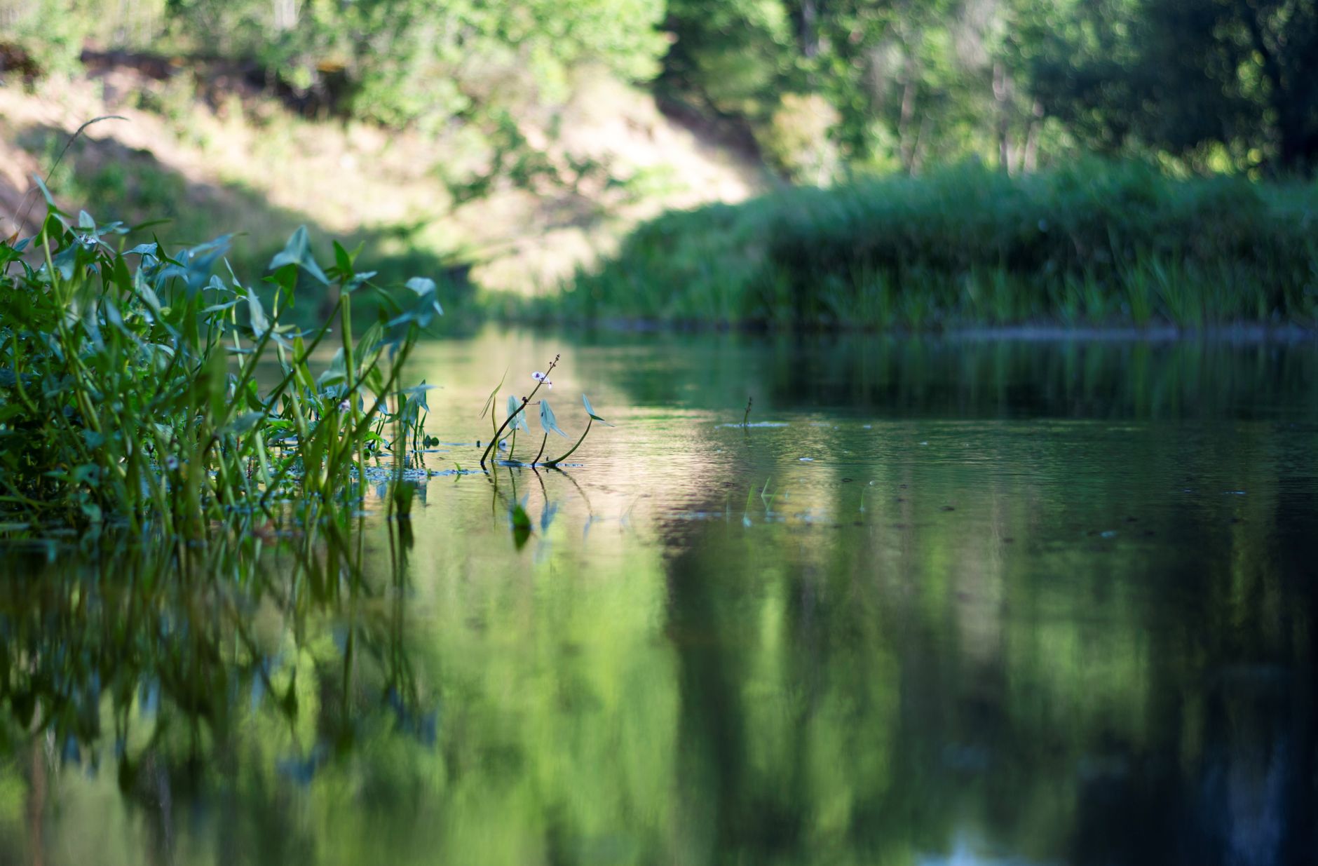
Photo by Sight See-RR on Pexels
Manistee River Fishing Guide: Access, Conditions & Seasons (2026)
8 min read
Waterbody Guide
Splits at Tippy Dam: wadable coldwater trout above, migratory salmon and steelhead below. Check the USGS Sherman gauge before you leave.
Your plans
Flow reliability
Seasonal consistency of median discharge from the curated USGS gauge for this place.
Spring
86%
year-to-year consistency
Summer
90%
year-to-year consistency
Fall
90%
year-to-year consistency
Winter
91%
year-to-year consistency
Median monthly discharge (cfs)
| Jan | Feb | Mar | Apr | May | Jun | Jul | Aug | Sep | Oct | Nov | Dec |
|---|---|---|---|---|---|---|---|---|---|---|---|
| 1020 | 1020 | 1270 | 1430 | 1200 | 1010 | 940 | 929 | 919 | 981 | 1010 | 1040 |
In the last 10 falls, roughly 4 of every 7 September–November weeks sat inside this band (933–1210 cfs); typical flow in those weeks 1010 cfs, median water temp 52°F (11.3°C).
Computed from 10 years of USGS daily records, station 04124000 (3,322 daily values). Last computed Oct 19, 2026.
Hydrological description only — not advice about wading, floating, or whether conditions are safe for recreation. Always check current USGS readings and local guidance before you go.
The river splits into two distinct personalities. Upstream of Tippy Dam, you're dealing with a classic coldwater trout stream with good wading access. Below the dam, it becomes a bigger river that hosts migratory runs of salmon and steelhead from Lake Michigan. Most anglers underestimate how much the character changes between those sections, and that mistake costs them time on the water.
Conditions and Gauge
The USGS gauge at Sherman (04124000) is your primary reference point for the Manistee River. It sits upstream of the main trout water and gives you a reliable read on what the river is doing. When the gauge shows stable or dropping flow, the wading is manageable and the fish are predictable. When it's climbing, expect off-color water and tough conditions.
For 2026, the summer pattern has been fairly typical - low and clear water through July and into August, which means the trout fishing is technical but productive if you adjust your approach. The salmon runs below the dams don't start showing in numbers until early September, so August anglers should focus on the resident fish.
Water temperature is the other number to track. The upper river stays cold enough for trout through the summer, but the lower stretches can warm up and push fish into the deeper holes. If you're fishing below Hodenpyl or Tippy Dams, the release from the bottom of the reservoirs keeps things cooler than the natural flow would suggest.
The weather forecast for the next few days - sunny, 72°F high, light wind - is about as good as it gets. No excuses on the weather front. The question is whether the river conditions match.
Access

Access here is not a given. The Manistee River has plenty of public water, but you need to know where it is and where it isn't. The DNR maintains a network of access sites, but some stretches are private and posted. Don't assume you can walk the bank anywhere you can reach it.
The most reliable public access points include:
- The upper river above Hodenpyl Dam - numerous county road crossings and DNR access sites, most with room to park a few cars
- The stretch between Hodenpyl and Tippy Dams - this is the famous "no-kill" water, and access is more limited. The DNR owns substantial frontage here, but you'll need to walk
- Below Tippy Dam - the most developed access, with a large parking area and boat launch that gets busy during salmon season
Boat access matters if you're fishing the lower river. The launch below Tippy Dam is your main option for running the lower stretch. Upstream, the river is too small for anything but a canoe or kayak, and even those require portaging in places.
Bring a backup access. The parking lots fill early on weekends during salmon season, and the no-kill stretch has limited entry points. If your first choice is full, you need to know where the next one is.
Seasons and Regulations

The Manistee River follows Michigan's general inland regulations, but with some important exceptions. Confirm the season and size limit on the MDNR regs page before you go, because the rules differ by section and by species.
As of 2026, the key points:
- Trout season runs from the last Saturday in April through September 30 on most inland waters. The stretch between Hodenpyl and Tippy Dams is open year-round but with gear restrictions
- The no-kill zone between Hodenpyl and Tippy Dams is artificials only, single hook, and all trout must be released. This is strictly enforced
- Salmon and steelhead have their own seasons and limits. The fall run below Tippy Dam draws most of the pressure, but the fish move up through the system as the season progresses
- The upper river above Hodenpyl follows standard inland trout regs, with a daily possession limit and no gear restrictions beyond the statewide rules
The MDNR stocking portal and FishStock database show what's been stocked and where. Read the stocking notes, then verify locally - the fish don't always stay where they're put, and the best fishing is often a mile or two from the stocking site.
Species Presence

The Manistee River supports a mix of resident and migratory fish, and the species you target depends entirely on where you are and when you're there.
Brown trout are the bread-and-butter resident fish in the upper river. They're present throughout the system and take well to both dry flies and nymphs. The no-kill stretch has some genuinely large browns, but they're educated and selective.
Rainbow trout show up in the system through stocking and as migratory steelhead. The iNaturalist data for the river shows rainbow trout observations outnumbering any other species, which tracks with what anglers report. The migratory rainbows - steelhead - run in the fall and spring below the dams.
Chinook salmon are the fall headline act. The iNaturalist records show chinook observations second only to rainbows, and anyone who has fished below Tippy Dam in September understands why. The run typically peaks in September and early October. These are big fish - check the chinook salmon species guide for details on their life cycle and how to target them.
Coho salmon run in smaller numbers than the chinooks but show up consistently. They tend to run a bit later and can provide good fishing after the chinook push has slowed.
Smallmouth bass and walleye are present in the lower river and the backwaters. They're not the main draw for most anglers, but they offer a summer option when the trout fishing is slow.
Northern pike show up in the slower, weedy sections. The iNaturalist data confirms their presence, though they're not a primary target for most river anglers.
Yellow perch and largemouth bass are present in the impoundments and slower water. Again, not the main event, but they're there if you want a change of pace.
The state fishing guide has the full breakdown of what's available across Michigan waters. For the Manistee specifically, the migratory runs drive most of the fishing pressure, but the resident trout fishery is the more consistent option through the summer.
Tactics That Match Conditions
The approach that works depends on which section you're fishing and what the gauge says.
Upper River Trout Tactics
When the water is low and clear - which is the August norm - you need to go small and subtle. Long leaders, small flies, and a slow approach. The fish in the no-kill stretch have seen every pattern in the book. If flows are up, wait. The river fishes best when it's stable or dropping, not when it's rising and off-color.
Dry fly fishing can be excellent in the summer evenings, especially for the larger browns that hold in the deeper runs. During the day, nymphing through the riffles and runs is more productive. The key is covering water quietly and reading the current breaks where fish hold without expending energy.
Below the Dams for Migratory Fish
The fall salmon run changes everything. Below Tippy Dam, the fish stack up in the tailwater, and the fishing is about getting your presentation in front of them in the right depth and speed.
Spawn sacs, beads, and flies all work, depending on the day and the fish's mood. The key is matching the flow. When the dam is releasing water, the fish spread out and the fishing gets more challenging. When the release is low, the fish concentrate in the deeper holes and the bite is more predictable.
Wind changes the plan on the big water. The lower river is wide enough that a strong west wind makes boat control difficult. Check the forecast before you commit to a day below the dam.
Steelhead in the Spring
Spring steelhead fishing on the Manistee is a different game. The fish are fresh from Lake Michigan and more aggressive than the fall salmon. Swinging flies and drifting spawn under a float both produce. The key is covering water until you find the holding lies.
Smallmouth and Warmwater Options
When the trout fishing is slow or the migratory fish haven't shown yet, the smallmouth bass in the lower river offer a reliable alternative. Streamers and poppers work well in the summer. The walleye fishing picks up in the evening, especially in the slower water near the mouth.
For statewide orientation, see the Michigan fishing guide.
Practical Takeaways
- Check the USGS gauge at Sherman (04124000) before you leave. Stable or dropping flow means fishable conditions. Rising water means wait.
- Know which section you're fishing. The upper river, the no-kill stretch, and the lower river below Tippy Dam all fish differently and have different regulations.
- Confirm the season and size limit on the MDNR regs page. The rules vary by section and species, and the no-kill zone has specific gear restrictions.
- Read the stocking notes, then verify locally. The FishStock database shows what was stocked and where, but the fish move.
- Bring a backup access. Parking fills early during salmon season, and not all river frontage is public.
- Match your tactics to the conditions. Low clear water calls for small flies and long leaders. High water calls for patience or a different day.
- The fall salmon run peaks in September and early October. Plan around that window if you want the best shot at chinook and coho.
- Check the forecast. Wind changes the plan on the lower river, especially if you're fishing from a boat.
Final Thoughts
The Manistee River is a dependable option for Michigan anglers, but it rewards preparation. The summer trout fishing is consistent if you adjust to low clear conditions. The fall salmon run below the dams is the most popular window, and it draws crowds for a reason.
If the gauge is climbing or the wind is howling out of the west, skip the drive. The river will still be there tomorrow. But on a stable-flow day with mild weather, this system offers some of the most varied fishing in the Lower Peninsula. The steelhead guide has more detail on the migratory fish if you're planning a spring or fall trip.
Sources
- Official source: Michigan DNR — Michigan fishing regulations michigan.gov/dnr/things-to-do/fishing/fishing-regulations · retrieved Aug 29, 2026
- Official source: USGS — Manistee River Near Sherman (04124000) waterdata.usgs.gov/monitoring-location/04124000 · retrieved Aug 29, 2026
Photo Gallery
More to Explore
Waterbody Guide
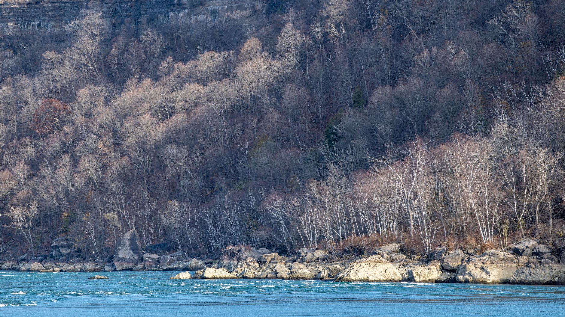
Grand River Fishing: Grand Rapids Gauge & November Push
Grand River at Grand Rapids: start with the gauge, not the calendar — fall median discharge near 3,570 cfs inside a wide 2,310–5,827.5 cfs band.
Waterbody Guide
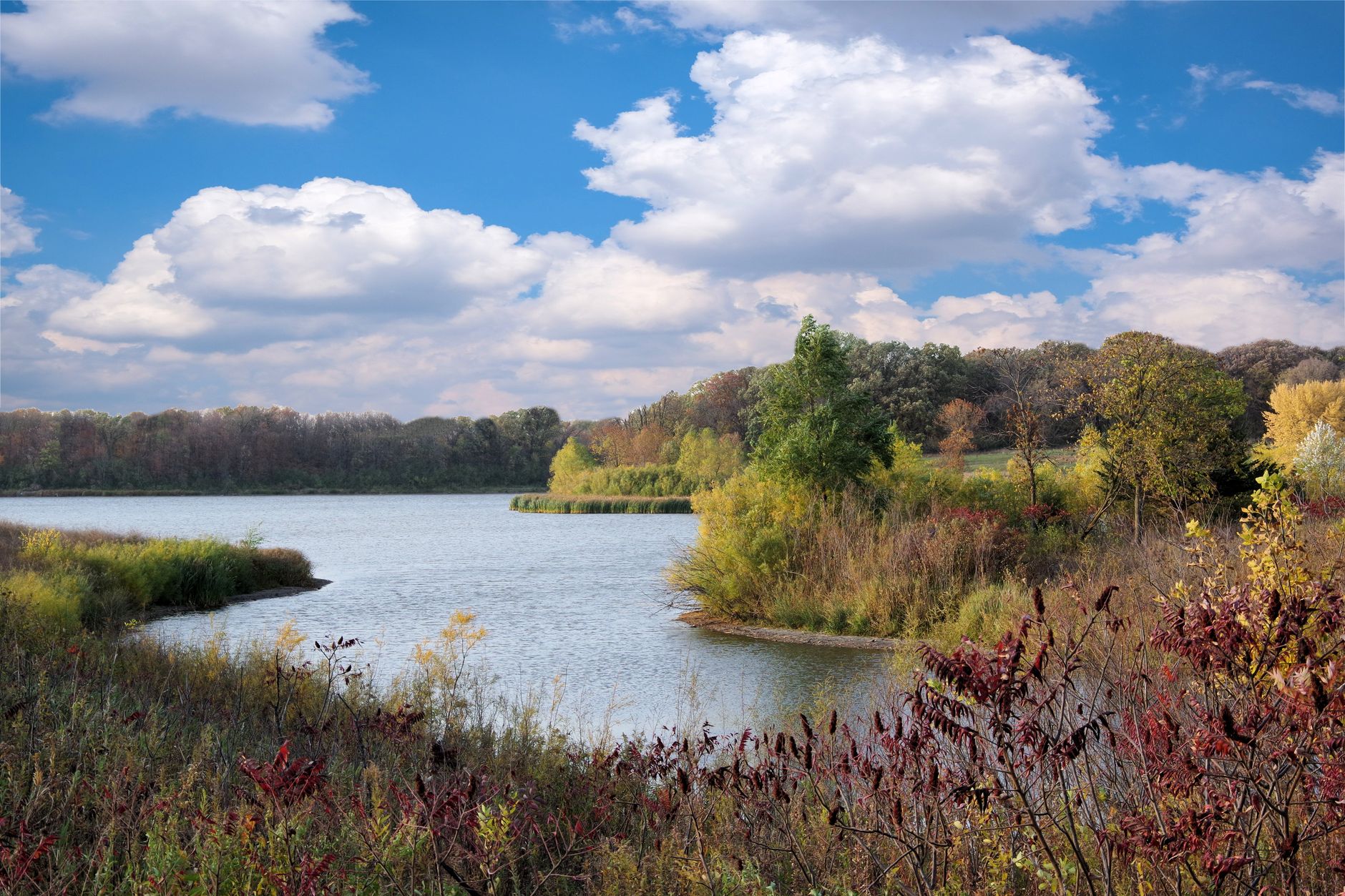
Kalamazoo River Fishing: New Richmond Fall Flow Band
Kalamazoo River fishing: character shifts from headwaters to the Lake Michigan mouth, with fall median discharge near 1,770 cfs and water around 52°F (11.2°C).
Waterbody Guide
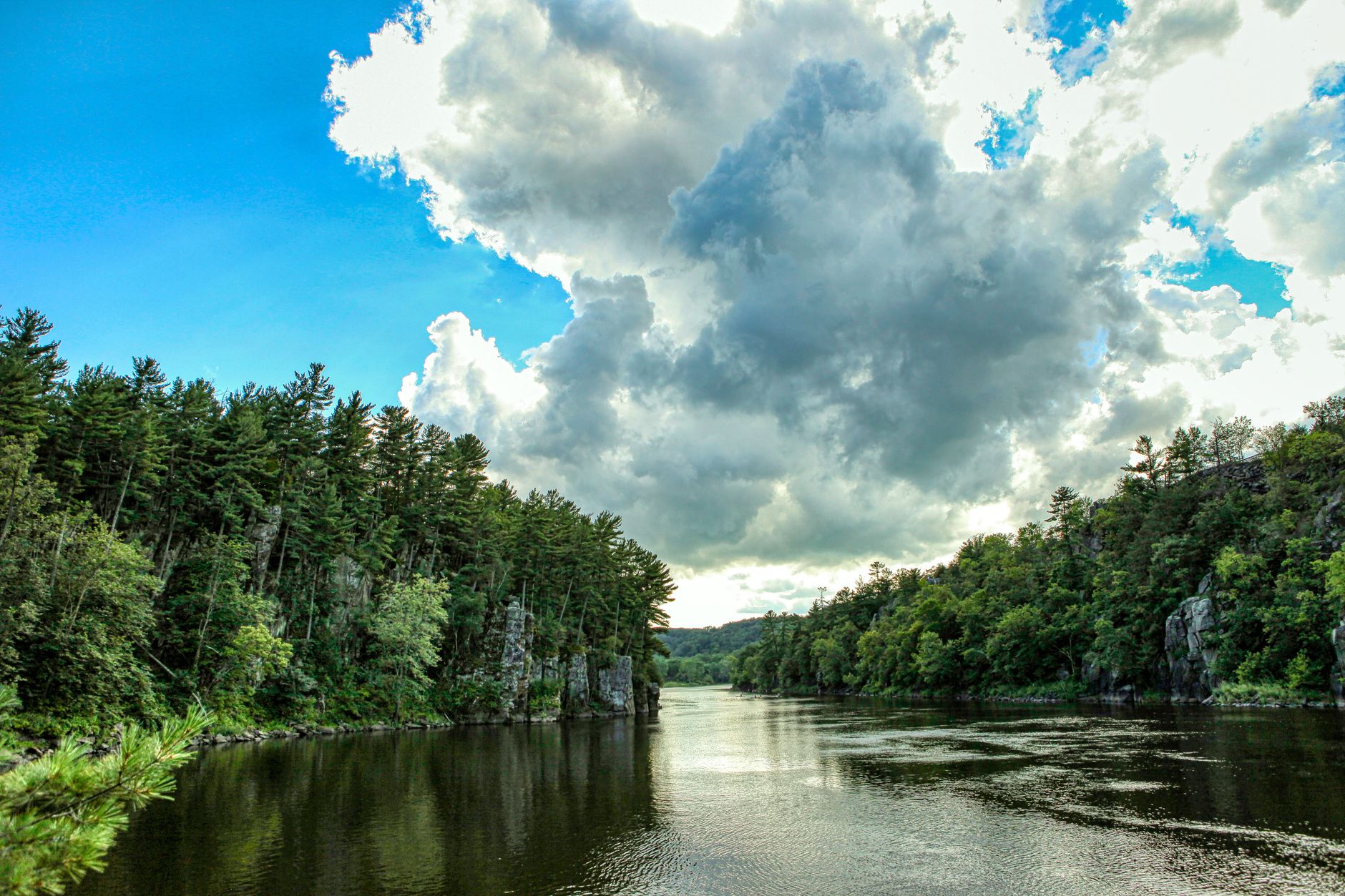
St. Joseph River Fishing: Niles Gauge & Berrien Reaches
St. Joseph River: lower water below Niles takes on Big Lake runs while Berrien reaches fish warmer, with fall median discharge near 3,520 cfs at Niles.
Waterbody Guide
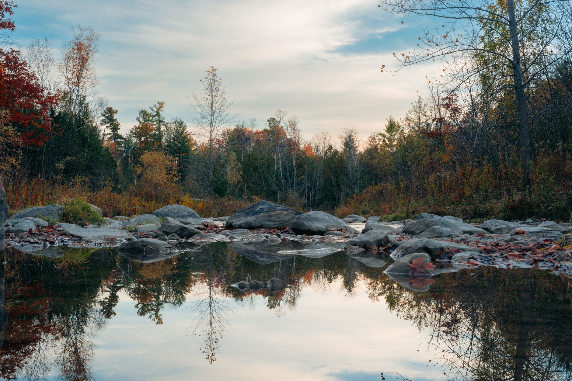
Rifle River Fishing: Sterling Gauge to Saginaw Bay
Rifle River toward Omer and Saginaw Bay: access limits the day more than desire, with fall median flow near 239.3 cfs and water around 47°F (8.5°C).
Waterbody Guide
Sturgeon River Fishing: Wolverine Gauge Autumn Band
Sturgeon River near Wolverine: September–November fall median discharge near 214.5 cfs, inside a reliable 197–259 cfs band for northern Lower Peninsula trips.
Waterbody Guide
Boardman River Fishing: Beitner Road Fall Consistency
Boardman River near Traverse City: fall median discharge near 259.5 cfs at Beitner Road, inside a reliable 234–307 cfs band for late-season trips.
Sign in to join the conversation.
Sources & Attribution
Fishing regulations and waters information should be verified with the relevant state wildlife agency before you fish.
Images: Photo by Sight See-RR on Pexels; Photo by chandra diantara on Pexels; Photo by Abduljaleel tijjani Muhammad on Pexels; Photo by Meruyert Gonullu on Pexels. Stock photos from Pexels / Unsplash license; links above point to each photo where available.
Map data © OpenStreetMap contributors.
Information may change. Always verify seasons, licenses, and local regulations with the official source before you fish.
Did this guide help? Share it with a friend.