October median flow on the Au Sable River at Mio runs around 873 cfs, and the fall window when the river sits in its reliable band between about 792.8 and 1,160 cfs spans most of September through November, with a median water temperature near 52°F (11°C) in that stretch. Stable discharge paired with cool water is what gives this river its prime character. If you are checking conditions for a trip in 2026, start with the USGS gauge at Mio (04136500) and the MDNR fishing regulations for the current regs picture before you load the truck.

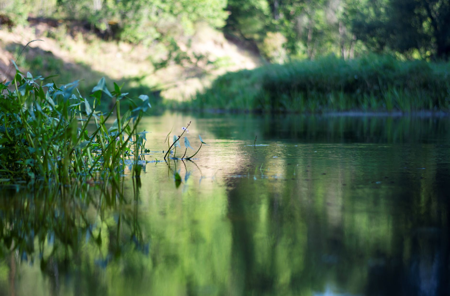
Photo by Andrew Patrick Photo on Pexels
Au Sable River Fishing Guide: Access, Conditions & Seasons (2026)
8 min read
Waterbody Guide
Au Sable River fishing at Mio: fall median flow near 873 cfs, cool water around 52°F (11°C), plus access, seasons, and tactics for Michigan trout water in 2026.
Your plans
Flow reliability
Seasonal consistency of median discharge from the curated USGS gauge for this place.
Spring
84%
year-to-year consistency
Summer
88%
year-to-year consistency
Fall
85%
year-to-year consistency
Winter
86%
year-to-year consistency
Median monthly discharge (cfs)
| Jan | Feb | Mar | Apr | May | Jun | Jul | Aug | Sep | Oct | Nov | Dec |
|---|---|---|---|---|---|---|---|---|---|---|---|
| 906 | 876 | 1125 | 1505 | 1295 | 975 | 874 | 791 | 814 | 890 | 885 | 943 |
In the last 10 falls, roughly 3 of every 5 September–November weeks sat inside this band (798–1170 cfs); typical flow in those weeks 909 cfs, median water temp 53°F (11.6°C).
Computed from 10 years of USGS daily records, station 04136500 (3,652 daily values). Last computed Oct 19, 2026.
Hydrological description only — not advice about wading, floating, or whether conditions are safe for recreation. Always check current USGS readings and local guidance before you go.
Conditions and Gauge
The gauge to watch is USGS 04136500 at Mio, Michigan. It is the reference point for the middle stretch of the river, and it gives you a reliable read on whether the water is fishable. The 10-year discharge record (2016-2026) shows a median of 931 cfs overall, with the reliable fall band between 792.8 and 1,160 cfs. Monthly medians tell the seasonal story: the river runs highest in April (1,505 cfs) and May (1,290 cfs), then settles through summer into the 775-875 cfs range by August and September, and holds around 873-884 cfs through October and November.
Check the gauge before you leave. If flows are up, wait. The Au Sable is a freestone system that responds quickly to rain. A hard 24-hour event can push the Mio gauge well above 1,200 cfs, which loads the channel and changes how the middle river fishes — even the boat launches become marginal. Conversely, extended dry spells in late summer can drop the river below 700 cfs, which concentrates fish in the deeper runs but also makes them spooky in the clear, low water.
Seasonal reliability scores from the same 10-year window run 0.84 for fall, 0.85 for spring, 0.87 for summer, and 0.86 for winter. What that means in practice: the Au Sable is a consistent river. It does not swing wildly between years the way some smaller Michigan streams do. The fall window, in particular, tends to hold steady, which is why September through November is the most dependable season for a planned trip.
Access
Access here is not a given. The Au Sable runs through a mix of state forest land, private property, and riparian corridors where the bank is posted. You cannot assume a road crossing means legal access. The dependable public points are the state forest campgrounds and the MDNR launches, and you should have at least two of them scouted before you leave.
The Mio area gives you the best concentration of public access on the middle river. The Mio Pond area and the state forest campgrounds upstream and downstream of town put you on fishable water within a short walk of the truck. The stretch from Mio downstream to McKinley has multiple state land parcels, but they are not continuous. You will paddle or walk past posted shoreline regularly.
Bring a backup access. The popular launches fill early on summer weekends, and the gravel lots have limited turnaround space for trailers. If the main lot at a given access is full, the nearest alternative might be 15 minutes away, so know where it is before you need it.
One note on the lower river: the stretch below Foote Dam is a different fishery entirely, influenced by the impoundments and the Lake Huron run. If your plan is trout on the upper and middle sections, you do not need to go that far down. If your plan is salmon and steelhead in the fall, that lower section has its own access points and its own crowd dynamics.
Seasons and Regulations
As of 2026, the Au Sable is covered by the standard Michigan inland trout regulations, but the specifics change by section, so you need to check the MDNR regs page rather than assume one rule covers the whole river. The MDNR maintains the official regulations at michigan.gov/dnr/things-to-do/fishing/laws-and-regs, and that is the page to confirm the season dates, size limits, and gear restrictions for the exact stretch you plan to fish.
The general pattern on the upper and middle river is catch-and-release for brook trout, with a season that runs from the last Saturday in April through September 30, but the gear restrictions and bait rules vary by section. Some stretches are artificial flies only. Others allow lures. You will not find a single uniform answer, and the locals will not agree with each other anyway. Confirm the season and size limit on the MDNR regs page for your specific section.
The fall salmon and steelhead run on the lower river below the dams operates on a different schedule, tied to the Great Lakes runs rather than the inland trout season. That fishery opens with the general season and runs through the fall and into winter, but again, the exact dates and gear rules are on the regs page, not in any guidebook.
The MDNR stocking portal (michigan.gov/dnr/managing-resources/fisheries/stocking) and the FishStock database (dnr.state.mi.us/fishstock) list what goes into the system and where. Read the stocking notes, then verify locally, because the stocking schedule changes year to year and the fish do not always stay where they are planted.
Species Presence
The Au Sable carries a broader mix of species than most people expect. The iNaturalist observation records for the river (as of 2026) show 10 species documented from the water itself, which is a decent snapshot of what is actually present. Smallmouth bass lead the count with 7 observations, followed by yellow perch with 6 and largemouth bass with 4. Walleye and lake trout each show 3 observations, rainbow trout and Atlantic salmon show 2 each, and northern pike, brook trout, and chinook salmon round out the list with 1 observation each.
That list is worth reading carefully. The presence of smallmouth and walleye in the same water as brook trout tells you the river is not a single-species system. The upper section around Grayling is primarily a trout fishery, but by the time the river reaches Mio and downstream, the warmwater species become a real part of the picture, especially in the slower pools and around the impoundments.
The salmon and steelhead presence is tied to the Lake Huron run. The chinook salmon observations confirm that the run reaches the river, and the Atlantic salmon presence reflects the Great Lakes stocking programs that put fish into the system. These are seasonal visitors, not year-round residents, and their availability tracks the fall and spring runs.
The brook trout observation count of 1 is not a reflection of abundance. It is a reflection of observation effort and the difficulty of photographing a fish that lives in fast, clear water and does not sit still. The upper Au Sable is a documented brook trout stream, and the MDNR manages it as such, but the iNaturalist data undercounts what is actually there.
Tactics That Match Conditions
The conditions dictate the approach more on the Au Sable than on most Michigan rivers. At fall flows around 875-890 cfs, the classic middle-river sections keep a manageable current, while the narrower runs push harder. Plan the day around working one bank rather than trying to cross the channel.
The fall water temperature around 52°F (11°C) (about 52 F) means the trout are active but not aggressive. They will move for a well-presented fly or lure, but they are not chasing anything that lands with a splash. This is the season for dead-drifted nymphs and slow-swinging streamers, not for aggressive surface action. The hatch activity is winding down by late September, and the fish are starting to look for bigger meals ahead of winter.
For the smallmouth and walleye in the lower sections, the same flows that make the trout water fishable also set up the warmwater bite. The slower pools and the edges of the current hold the smallmouth, and they will take crawfish patterns and small crankbaits worked along the bottom. The walleye are more of a low-light proposition, so plan for early morning and evening if that is your target.
The fall chinook run changes everything below the dams. If you are after the salmon, you are not fishing the same river that the trout anglers are fishing. The fish are staging in the lower reaches and pushing up toward the barriers, and the tactics are geared toward large, flashy presentations in faster, deeper water. This is a different skill set, and it is worth being honest with yourself about which fishery you are actually equipped to fish.
For statewide orientation, see the Michigan fishing guide.
Practical Takeaways
- Check the Mio gauge (04136500) before you leave. The reliable fall band is roughly 792.8 to 1,160 cfs, with a median near 931 cfs.
- Confirm the season and size limit on the MDNR regs page for your specific section. The rules vary by stretch, and nobody will enforce them for you.
- Scout two access points before you drive. The popular launches fill early, and the shoreline between them is posted.
- If flows are up, wait. A hard rain can push the river out of its typical fall band within hours.
- The fall window (September through November) is the most dependable season, with median water temps near 52°F (11°C) and stable flows.
- The species mix changes as you move downstream. Trout dominate upstream; smallmouth, walleye, and perch become real targets below Mio.
- The salmon and steelhead run on the lower river is a separate fishery with separate timing. Do not confuse it with the inland trout season.
- Read the stocking notes, then verify locally. The FishStock database tells you what went in, but it does not tell you where the fish are today.
Final Thoughts
The Au Sable rewards planning and punishes assumptions. If the gauge is in the reliable band, the access is scouted, and the regs are confirmed, the river gives you a fair day of fishing. If any of those three things is off, you are better off staying home or finding a backup plan. The river will still be there next week.
For the broader picture on Michigan waters, the state fishing guide covers the full range of options. And if the fall run has you thinking about salmon, the chinook salmon page has the species-specific details, or the steelhead page for the winter and spring fish. The Au Sable is one river, but it is several fisheries, and knowing which one you are fishing is half the battle.
Sources
- Official source: Michigan DNR michigan.gov/dnr/things-to-do/fishing/fishing-regulations
More to Explore
Waterbody Guide
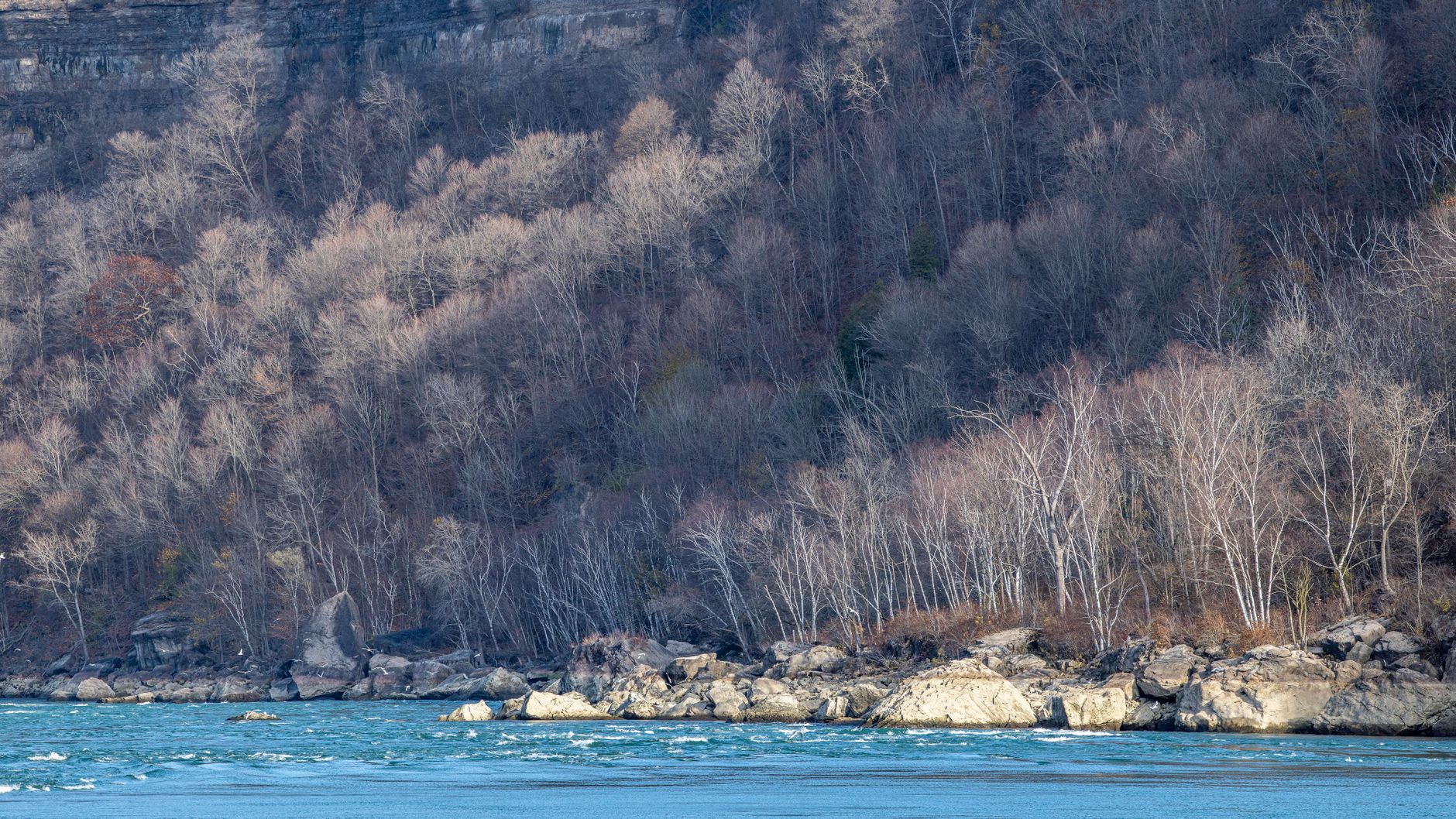
Grand River Fishing: Grand Rapids Gauge & November Push
Grand River at Grand Rapids: start with the gauge, not the calendar — fall median discharge near 3,570 cfs inside a wide 2,310–5,827.5 cfs band.
Waterbody Guide
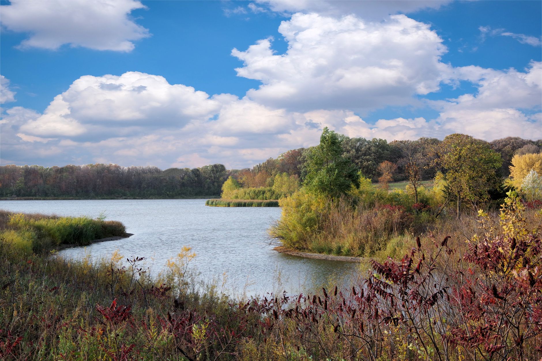
Kalamazoo River Fishing: New Richmond Fall Flow Band
Kalamazoo River fishing: character shifts from headwaters to the Lake Michigan mouth, with fall median discharge near 1,770 cfs and water around 52°F (11.2°C).
Waterbody Guide
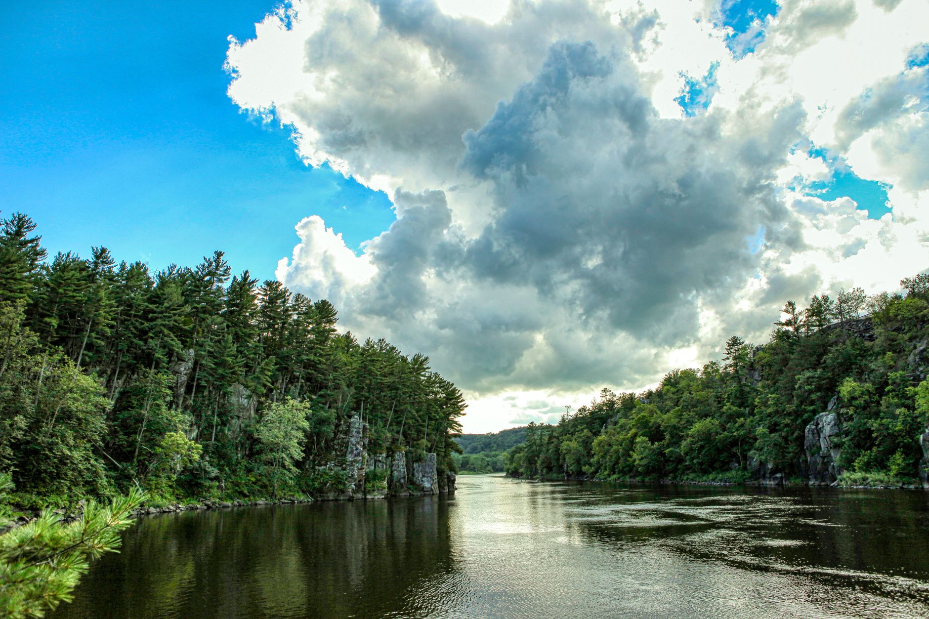
St. Joseph River Fishing: Niles Gauge & Berrien Reaches
St. Joseph River: lower water below Niles takes on Big Lake runs while Berrien reaches fish warmer, with fall median discharge near 3,520 cfs at Niles.
Waterbody Guide
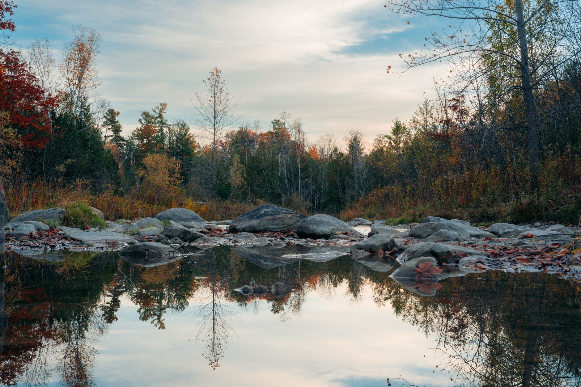
Rifle River Fishing: Sterling Gauge to Saginaw Bay
Rifle River toward Omer and Saginaw Bay: access limits the day more than desire, with fall median flow near 239.3 cfs and water around 47°F (8.5°C).
Waterbody Guide
Sturgeon River Fishing: Wolverine Gauge Autumn Band
Sturgeon River near Wolverine: September–November fall median discharge near 214.5 cfs, inside a reliable 197–259 cfs band for northern Lower Peninsula trips.
Waterbody Guide
Boardman River Fishing: Beitner Road Fall Consistency
Boardman River near Traverse City: fall median discharge near 259.5 cfs at Beitner Road, inside a reliable 234–307 cfs band for late-season trips.
Sign in to join the conversation.
Sources & Attribution
Fishing regulations and waters information should be verified with the relevant state wildlife agency before you fish.
Images: Photo by Andrew Patrick Photo on Pexels. Stock photos from Pexels / Unsplash license; links above point to each photo where available.
Map data © OpenStreetMap contributors.
Information may change. Always verify seasons, licenses, and local regulations with the official source before you fish.
Did this guide help? Share it with a friend.