Many visitors underestimate Acadia National Park. At just under 50,000 acres, it's one of the smaller national parks, but its 27-mile Park Loop Road connects a density of landscapes that can fill a week's itinerary. Granite peaks, cobble beaches, deep ponds, and historic carriage roads are stitched together on this island. This guide provides practical, field-level knowledge for navigating Acadia's unique challenges—timed entry reservations for Cadillac Mountain, a parking situation that dictates your day, and which trails merit the effort. We'll cover current 2026 conditions, from road closures to peregrine falcon nesting zones, and explain how to experience the park's defining features without spending half your time in traffic.

NPS via NPS.gov (Public Domain)
Acadia National Park: Carriage Roads, Cadillac Mountain & 2026 Guide
11 min read
Park Guide
Discover carriage roads, Cadillac Mountain, and rugged Maine coast. Complete 2026 guide to Acadia National Park — trails, fees, lodging, permits, and what rangers recommend.
Your plans
This article contains affiliate links — we may earn a small commission at no extra cost to you.
At a glance
Location
ME
Website
44.3340, -68.2487
Google MapsNavigating the Park: Entrances, Fees, and the Parking Reality
Acadia National Park uses a vehicle entrance pass system. In 2026, a private vehicle pass costs $35 and is valid for seven days. Motorcycle passes are $30, and individuals on foot or bicycle pay $20. An annual Acadia pass is $70. Rangers at entrance stations note that the America the Beautiful National Parks pass covers these fees. The main park entrance is near Hulls Cove, north of Bar Harbor, but the park spans Mount Desert Island, the Schoodic Peninsula, and Isle au Haut. Your entry point depends on your first destination.
The Hulls Cove Visitor Center is your logical first stop. It's where you get maps, check the forecast, and hear from rangers about current trail conditions and wildlife activity. The parking situation here is a bellwether for the rest of the park - if this lot is full by 9 AM, you can bet the trailheads along Park Loop Road are already at capacity. Cell service drops out at various points on the island, so downloading maps and information beforehand is not a suggestion; it's a requirement for efficient navigation.
The Park Loop Road is the park's signature scenic drive, but it's one-way for large sections and congests by mid-morning. A common error is attempting the entire loop at once, stopping at every pullout. Seasoned visitors treat it as a connector, selecting one or two zones daily. Parking at popular spots like Sand Beach, Thunder Hole, and Jordan Pond is extremely limited. Rangers advise that if you haven't secured a spot by 9:30 AM on a summer day, use the Island Explorer bus system. It's free, covers most key areas, and avoids the primary parking challenge.

The Core Experience: Cadillac Mountain, Carriage Roads, and Coastline
These three elements define an Acadia visit. Each requires a different strategy.
Cadillac Mountain: More Than a Sunrise
At 1,530 feet, Cadillac is the highest point on the North Atlantic seaboard. The drive to the summit is famous, but as of spring 2026, the Cadillac Summit Road is closed for construction from the Park Loop Road up to just before the summit parking lot. This closure includes pedestrians and cyclists. Check the official website for the latest status, as this significantly alters access. When open, a vehicle reservation (separate from your park entrance fee) is required to drive up between late May and late October. These sell out weeks in advance.
The closure makes hiking up the primary option. The Cadillac South Ridge Trail is the longer, more scenic route, a forested path that opens to granite slabs with constant, widening views. It takes 2-4 hours round-trip. The Gorge Path, which connects to the North Ridge, follows a deep, cool cleft between Dorr and Cadillac mountains - a good choice for a hot day. Your calves will have strong opinions about the final push to the summit no matter which route you take. From the top, on a clear day, you can trace the ragged line of the Mount Desert Island coastline and spot the Porcupine Islands in Frenchman Bay. Sunrise is the legendary draw, but sunset often has fewer crowds and equally dramatic light hitting the western islands.
The Carriage Road Network: Acadia's Beating Heart
John D. Rockefeller Jr. gifted the park 45 miles of crushed-stone carriage roads, and they are its most unique feature. They are for non-motorized use only: hiking, biking, horseback riding, and cross-country skiing. The network is a masterpiece of gentle grades, stone culverts, and 17 handcrafted granite bridges, like the massive Amphitheatre Bridge built in 1931.
You access them from various gatehouses, like the Brown Mountain Gatehouse. The surface is hard-packed gravel, about the width of a two-lane road, and it rolls through quiet forests and around the shores of Jordan and Eagle ponds. On a bike, you can cover 10-15 miles in a few hours with minimal strenuous climbing. The sound is the giveaway you're on a carriage road: the steady crunch-crunch of gravel underfoot or under tire, a stark contrast to the distant hum of Park Loop Road traffic. Early morning is your best bet for having long, shaded stretches to yourself, before the families and tour groups arrive.
The Rugged Coast: Ocean Path and Beyond
The Ocean Path is the easiest way to experience Acadia's granite-and-surf coastline. It's a 2.2-mile, mostly flat trail from Sand Beach to Otter Point. You'll pass Thunder Hole, where incoming swells can boom into a crevice at mid-to-high tide. Manage your expectations - it's not a constant geyser, but a occasional, deep thump. The path is paved at the start near Sand Beach, then becomes a packed dirt and rock path right along the cliff edge. From here you can see the surf patterns, watch cormorants dry their wings on offshore rocks, and feel the temperature drop 10 degrees when a fog bank rolls in.
For a more substantial coastal hike, the Great Head trail starts at the east end of Sand Beach, crossing a natural sandbar before looping up onto a 145-foot-high promontory. The views back toward the beach and the Beehive mountain are worth the short, rocky climb. Pack extra water for this stretch; there's no shade on the open granite dome.

Hiking Beyond the Highlights: Trail Strategy
With over 120 miles of hiking trails, Acadia's system is intricate and often interconnected. Choosing the right trail depends on your tolerance for granite ladders, desire for solitude, and willingness to use the shuttle.
The Strenuous Classics: Precipice and Beehive
Note the alert: as of March 2026, the Precipice Trail is closed for peregrine falcon nesting season. This is an annual closure (typically March through August) and is strictly enforced. Rangers do this to protect the cliff-nesting birds. When open, it's a non-technical but exposed climb using iron rungs and ladders up the east face of Champlain Mountain. It is not for anyone with a fear of heights.
The Beehive Trail is its slightly tamer but still thrilling sibling, with similar rungs and ladders leading to a fantastic view over Sand Beach. It's often crammed with people by 10 AM. The trail narrows here to single-file on the cliff edge. If you see a line forming, consider the alternative: the Bowl Trail, which goes around the back and offers a peaceful, forested route to the same summit area.
Family-Friendly and Scenic Loops
For a quieter, deeply satisfying hike, the Acadia Mountain loop on the island's western side offers 681-foot summit views over Somes Sound, the only fjord on the U.S. East Coast. You'll need to drive or take the Island Explorer bus to the trailhead on Route 102. The climb involves some hand-over-foot scrambling on pink granite, but the payoff is a panoramic view with fewer people than you'll find on the Park Loop Road side.
The Jordan Pond Path is a 3.3-mile loop on a level, gravel-and-boardwalk trail around the crystal-clear pond. It's universally accessible for the first portion from the Jordan Pond House. The full loop has some rocky, rooty sections. It delivers the iconic view of the Bubbles mountains at the north end. Go early or late; the path is a pedestrian highway by midday. This is a prime spot to connect to other trails for longer adventures, like heading up the South Bubble to see the precariously perched Bubble Rock, a glacial erratic.
Using the Island Explorer to Link Hikes
The free Island Explorer bus is a for point-to-point hikes. A classic is the Sieur de Monts to Sand Beach trek. You can take the bus to the Sieur de Monts Spring area (home to the Wild Gardens of Acadia), hike up the Dorr Mountain South Ridge for panoramic views, then connect across to the Beachcroft Path and down to Sand Beach, where you catch the bus back. It turns a 4.1-mile hike into a seamless adventure without touching your car. The bus schedules are seasonal, so verify the routes are running for your best time to visit.

Camping, Staying, and Exploring the Wider Park
Your base of operations changes the feel of your trip entirely.
Camping Inside the Park
Acadia has four NPS campgrounds. Blackwoods Campground, on the east side near Otter Creek, is the most central for exploring the main Park Loop Road area. It has over 300 sites but feels wooded and secluded. Reservations are essential and open months in advance. Seawall Campground, on the quieter west side, is first-come, first-served for a portion of its sites and offers easier access to the Bass Harbor Head Light and trails like Ship Harbor. Schoodic Woods Campground, on the separate Schoodic Peninsula, is the park's newest with 89 sites, including electric hookups. It's a world away from the Mount Desert Island crowds. Duck Harbor Campground is the remote option - five lean-to sites on Isle au Haut, accessible only by mail boat from Stonington. It's for those seeking true backcountry solitude. For a full breakdown of camping options, including amenities and reservation strategies, plan ahead.
Lodging in Gateway Communities
Bar Harbor is the primary hub, with a range of lodging and accommodations from historic inns to chain hotels. Southwest Harbor and Northeast Harbor on the island's western side are quieter, with a more local feel. Winter Harbor, near the Schoodic Peninsula, is the quietest gateway of all. The park website doesn't mention that hotel prices in Bar Harbor can double during peak foliage season in October, and many places require multi-night stays.
Beyond Mount Desert Island
A significant portion of Acadia National Park is off the main island. The Schoodic Peninsula, about an hour's drive east, has its own dramatic, wave-battered coastline and far fewer visitors. It's worth a day trip to bike the one-way road and hike the Schoodic Head trail. Isle au Haut, accessible by ferry, offers rugged, trail-only access to a rocky coastline that feels like the edge of the world. You need to plan your ferry trip around the mail boat schedule.

Wildlife, Seasons, and Pro Tips
Wildlife Viewing
Acadia's wildlife viewing is subtle but rewarding. White-tailed deer are common at dawn and dusk, especially near meadow edges. Red foxes sometimes trot along carriage roads at first light. The peregrine falcon closures are a clue - keep an eye on the cliffs for these swift predators. In the intertidal zones, especially at Wonderland Trail on the west side at low tide, you can find green crabs, hermit crabs, and sea stars in the pools. Bring a tide chart.
Seasonal Considerations
Summer (July-August) brings the best weather but also peak crowds, fog, and black flies. Fall (September-October) has crisp air, fewer bugs, and spectacular foliage, but it's also incredibly popular. Winter transforms the park for cross-country skiing and snowshoeing on the carriage roads, but most facilities are closed. Spring (May-June) can be muddy, cool, and punctuated by the shrill buzz of black flies. The park is open year-round, but your experience will be dictated by the season.
Final Pro Tips from the Trail Register
Rangers emphasize a few things that first-timers consistently ignore. First, the ocean is cold - year-round. Swimming at Sand Beach is a bracing, brief experience. Second, the rocks are slippery, especially when wet with seaweed or morning dew. Trekking poles are useful on more than just the mountain trails. Third, the gift shop at Jordan Pond House sells water for $4 a bottle. Bring your own. Finally, for a unique, ranger-led perspective, look into the available tours and guided experiences, from birding walks to geology talks.
Practical Takeaways
- Parking is Your Primary Constraint. Plan to be at your chosen trailhead or parking area by 8:30 AM, or commit to using the free Island Explorer bus system for your entire day.
- Check for Closures First. Before you plan your day, verify the status of the Cadillac Summit Road and any peregrine falcon-related trail closures (Precipice, Jordan Cliffs, etc.) on the official NPS website.
- Reservations are Non-Negotiable for Cadillac. If you plan to drive up Cadillac Mountain when the road is open (typically late May-Oct), you must secure a timed vehicle reservation online in advance. They are separate from your park entrance pass.
- Use the Bus for Point-to-Point Hikes. The Island Explorer enables excellent longer hikes without a car shuttle. Study the route map for hikes like Sieur de Monts to Sand Beach.
- Footwear Matters. This isn't a soft-dirt trail park. The trails are rocky, rooty, and often steep granite. Wear sturdy hiking shoes or boots with good traction.
- Prepare for Rapid Weather Changes. Coastal fog can roll in and drop visibility to zero in minutes. Always carry an extra layer, rain gear, and more water than you think you need.
- Explore Beyond the Loop. To escape the crowds, dedicate a day to the Schoodic Peninsula or the western side of Mount Desert Island, using trails like the hiking trails around Acadia Mountain or Ship Harbor.
Final Thoughts
Acadia National Park rewards the strategic visitor. Its beauty isn't hidden, but the pace and quality of your experience depend entirely on how you navigate its very real logistical hurdles. The difference between a stressful day in traffic and a sublime day on a quiet stretch of carriage road often comes down to a 7 AM start time and a willingness to let the bus do the driving. Embrace the granite underfoot, respect the power of the tides and the fog, and look beyond the summit of Cadillac to the network of trails and shores that make this compact park feel endlessly explorable. Your trip will be defined less by the sights you check off and more by the moments of quiet you find between them - the crunch of gravel, the croak of a raven echoing off a cliff, the sudden reveal of the ocean through a break in the pines. That's the real Acadia.
Recommended Gear
What experienced visitors bring to Acadia National Park: Carriage Roads, Cadillac Mountain & 2026 Guide
Links may earn us a commission at no extra cost to you. We only recommend gear we believe in.
Hiking Essentials
Hydration Pack (3L)
Hands-free water for long trail days
Trekking Poles (Pair)
Save your knees on steep descents
Hiking Boots (Ankle Support)
Sturdy footwear for rocky, uneven trails
Sun & Heat Protection
Wide-Brim Sun Hat
Full coverage UPF 50+ protection at altitude
Insulated Water Bottle (32oz)
Keeps water cold in desert heat all day
Winter Gear
Microspikes / Traction Devices
Essential for icy rim trails in winter months
Packable Down Jacket
Lightweight warmth that stuffs into a pocket
Sources
- Official source: NPS — Acadia National Park nps.gov/acad/index.htm
- Official source: National Park Service nps.gov/places/acadia-national-park.htm
Explore More National Parks

Acadia Gateway Center
Discover Acadia Gateway Center: acadia gateway center with our comprehensive guide. Expert tips, pra...
Acadia Mountain Trailhead
Discover Acadia Mountain Trailhead: acadia mountain trailhead with our comprehensive guide. Expert t...
Acadia National Park
Discover Acadia National Park: acadia national park with our comprehensive guide. Expert tips, pract...

Shenandoah National Park: Skyline Drive & Blue Ridge Views - 2026 Guide
Discover Skyline Drive, Blue Ridge views, and Appalachian trails. Complete 2026 guide to Shenandoah...
Photo Gallery
More to Explore

Hiking Guide
Grand Canyon Hiking Trails: Day Hikes, Water Sources & Rim to Rim
Compare Grand Canyon hiking trails: Bright Angel, South Kaibab, Hermit, Grandview, and rim to rim, with distances, elevation, water stops, and trailhead access for each.

Best Of
Best of Glacier Bay National Park
The best of Glacier Bay is reached by boat: ranger-led day tours up the bay to the tidewater glaciers. What's worth it, how to book, and when to go (2026).

Campsite Guide
White Sands Backcountry Camping: Closed for 2026 — What to Know
As of 2026, backcountry camping at White Sands National Park is closed for site rehabilitation. What that means, and where to camp nearby instead.

Weather Guide
Guadalupe Mountains National Park Weather: Weather
Guadalupe Mountains National Park: weather guide guide updated 2026. Practical visitor information, reservations, and seasonal tips worth bookmarking before

Best Of
Best of Cuyahoga Valley National Park: Best Things to Do
Seeing a Cleveland Orchestra concert with the woods as your backdrop is a uniquely Cuyahoga Valley experience.
Weather Guide
Black Canyon of the Gunnison National Park Weather: Weather
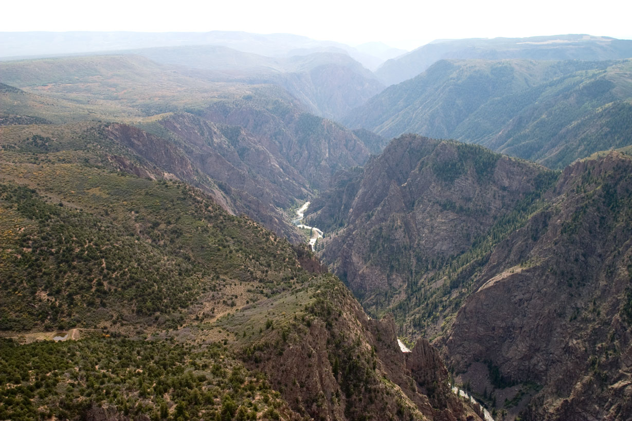
First-time visitors are often caught off guard by the temperature gradient between rim and river. Updated for 2026 with 5 Black Canyon of the Gunnison National
Sign in to join the conversation.
Sources & Attribution
Location data courtesy of the National Park Service (U.S. Department of the Interior). NPS data is public domain. Official NPS page.
Images: NPS; NPS; NPS; NPS; NPS.
Map data © OpenStreetMap contributors.
Park operations alerts: NPS.gov · Weather and weather hazards: National Weather Service · Live conditions.
Information may change. Always verify fees, hours, and conditions directly with the official source before visiting.
Did this guide help? Share it with a friend.