Guadalupe Mountains National Park weather follows one simple, stark rule: elevation dictates climate. The park's vertical rise from desert floor to high-country peak creates a span of life zones equivalent to driving from Mexico to Canada. You can start your morning shivering in a subalpine forest at 8,000 feet and end it sweating in Chihuahuan Desert heat at 4,000 feet. Most first-time visitors are caught off guard by the speed of this transition. The official forecast for the region is almost useless; you need two forecasts, one for the basin and one for the peaks. This vertical stratification is the single most important factor in planning your visit and packing your bag. For broader context on navigating the park, our complete visitor guide offers essential details.

Guadalupe Mountains National Park Weather: Weather
7 min read
Guadalupe Mountains National Park: weather guide guide updated 2026. Practical visitor information, reservations, and seasonal tips worth bookmarking before
The park sits in a rain shadow, which is a polite way of saying it's dry. The prevailing westerlies dump their moisture on other ranges long before they reach the Guadalupes. Annual precipitation averages around 15 inches in the high country and less than 10 inches in the desert foothills. What moisture does arrive typically comes in two forms: fierce, localized afternoon thunderstorms from July through September, and occasional winter snow squalls that dust the peaks. The wind, however, is a constant companion. It funnels through canyons and across ridges with a persistence that reshapes the experience. A 20-30 mph breeze is standard; 50+ mph gusts are not uncommon, especially in spring and fall. This wind amplifies temperature extremes, stripping heat from your body in winter and offering no cooling relief in summer. Rangers will tell you that if you can't handle wind, you've picked the wrong park.
Month by Month
December - February (Winter)
* Temperatures: Highs 30-55°F in the lowlands; 20-40°F on the peaks. Lows frequently drop into the teens at higher elevations. Wind chill is a genuine hazard.
* Precipitation: Light snow is possible, mainly above 7,000 feet. Storms can temporarily close the road to McKittrick Canyon or the Pine Springs campground. Ice forms on north-facing trails.
* Conditions: The park is open, but services are reduced. The visitor center operates on winter hours. Crowds are virtually nonexistent - you might have a whole trail to yourself.
* Considerations: This is the time for solitude and stark, beautiful landscapes. It's also the time for serious cold-weather gear. Hiking to Guadalupe Peak is a mountaineering endeavor requiring traction devices and layered insulation. The lowland trails like the Smith Spring Loop are more accessible but still cold.
March - May (Spring)
* Temperatures: A season of dramatic swing. March can still see freezing nights, while May afternoons in the desert can hit 85°F. The high country lags, staying cool.
* Precipitation: The driest period. Wind reaches its peak intensity, often making ridge-line hikes a battle for balance.
* Conditions: This is the primary window for comfortable high-country hiking before the summer heat. Wildflowers begin in the lowlands in April and creep upward through May. Crowds increase steadily, especially on weekends.
* Considerations: The wind is the defining feature. It can be relentless. Pack wind-resistant layers and secure your hat. This is the best time for strenuous hikes like the Bush Mountain or Hunter Peak loops, as long as you check for trail ice early in the season.
June - August (Summer)
* Temperatures: Lowland highs consistently 90-100°F. Peak temperatures are more moderate, 70-80°F, but the sun is intense at altitude.
* Precipitation: The North American Monsoon arrives, usually starting in July. This means brief, violent afternoon thunderstorms. Lightning risk on exposed peaks is very real.
* Conditions: All facilities are open. This is the busiest season, despite the heat. The smart strategy is to hike at dawn. By 10 AM, the lowland trails are punishing.
* Considerations: Hydration isn't a suggestion; it's a requirement. Flash floods can erupt in canyons like McKittrick during storms. You must be off high points by early afternoon. The heat in the desert sections of any trail is severe.
September - November (Fall)
* Temperatures: September remains hot. A sharp cooling trend begins in October, with pleasant 60-75°F days in the lowlands and crisp 50-65°F days up high. November nights dip below freezing.
* Precipitation: Monsoon storms taper off in September. The fall is generally dry and clear.
* Conditions: Crowds thin after October. The big draw is the fall color in McKittrick Canyon, which typically peaks in late October. It's the park's most famous seasonal event.
* Considerations: This is arguably the best all-around season. The high country is perfect for hiking, the lowlands are tolerable, and the weather is mostly stable. Reserve camping well in advance for the peak color weekends in McKittrick Canyon.

Best Times for Specific Activities
* High-Country Hiking: Aim for April-May and late September-October. These windows avoid deep snow, peak summer lightning, and the worst of the spring wind (mostly). The air is clear, and temperatures are ideal for strenuous climbs.
* Wildlife Viewing: Spring (April-May) and Fall (October). Mule deer and elk are more active during cooler parts of the day. Bird migration peaks in spring, with many species moving through the canyons. Listen for elk bugling in the fall in the high country.
* Wildflowers: A rolling bloom. April in the desert foothills (yuccas, cacti). May-June in the middle elevations. July-August in the highest meadows following monsoon rains.
* Fall Color: Late October. This is almost exclusively a McKittrick Canyon show. Bigtooth maples turn brilliant red and orange. The narrow canyon walls concentrate the color. It lasts about two weeks.
* Stargazing: Fall and Winter. The dry air, low humidity, and distance from city lights create exceptional conditions. The Milky Way is vivid. The colder months have the longest nights.

What to Pack by Season
The rule is layers, always. But the composition changes.
* Winter: Think mountaineering-lite. A moisture-wicking base layer, insulating mid-layer (fleece or puffy), and a waterproof/windproof shell. Insulated gloves, a warm hat, and neck gaiter. Sturdy boots with traction devices (microspikes) for any high-elevation travel. A four-season tent if camping.
* Spring: Windproof jacket is non-negotiable. Light insulating layers you can peel off. A wide-brimmed hat that ties on. Sunglasses. Trail conditions can be muddy or icy early on, so waterproof boots are wise.
* Summer: Sun protection is critical: wide-brimmed hat, UV-blocking shirt, sunglasses, and heavy-duty sunscreen. A rain shell for sudden monsoons. Electrolyte supplements. Three to four liters of water per person for a full-day hike. Start hikes before sunrise.
* Fall: A mix of summer and winter gear. Mornings start cold, days warm up. Pack layers you can add and shed. A light puffy jacket for evenings. Reliable hiking boots for variable trail conditions.

What the Forecast Doesn't Tell You
- The Temperature Inversion: On clear, calm winter nights, cold air sinks. The canyon bottoms and desert floor can be 10-15 degrees colder than the campground at Pine Springs. Your car thermometer at the trailhead is lying about how cold the hike will start.
- Microclimate in McKittrick: McKittrick Canyon runs east-west and has its own climate. It's often several degrees cooler and more humid than the main park area. In summer, it's a sought-after refuge. In winter, ice lingers longer on its shaded trails.
- Lightning Likes the Peaks: Summer storms build quickly. If you hear thunder, you are already in danger on Guadalupe Peak or any exposed ridge. The descent takes time you don't have. Turn around immediately.
- Wind Chill is a Year-Round Factor: A 40°F day with a 30 mph wind feels like freezing. That same wind on an 85°F day doesn't cool you - it just dehydrates you faster.
- Hydration Logistics: There is no drinking water available on any trail. The only reliable water sources are at the Pine Springs Visitor Center and the campgrounds. You must carry all you will need from the start.
- The Dust: The wind picks up fine, powdery dust. It gets in your eyes, your camera, your lunch. Pack sealed bags for electronics and consider wearing sunglasses even on cloudy, windy days.

Practical Takeaways
- Plan by Elevation: Decide what you want to do. Lowland hikes are best October-April. High-country hikes are best April-May and September-October.
- The Dawn Start is Law in Summer: Be on the trail by 6 AM. You'll finish before the worst heat and before the thunderstorms gather.
- Pack for Two Climates: Even a summer hike to the peak requires a warm layer for the summit and a rain shell for the afternoon storm.
- Water is Weight: Most visitors underestimate their needs. Plan for one liter per hour of activity in summer. A hydration bladder is more efficient than bottles.
- Wind is the Default: Secure all loose gear at camp. Pitch your tent with the low profile into the wind. A stable, four-season tent is recommended outside of summer.
- Check Specific Resources: Before you go, check the park's website for road conditions (especially to McKittrick Canyon) and the National Weather Service forecast for both "Guadalupe Peak" and "Salt Flat, TX" to get the full picture.
- Respect the Monsoon: From July to September, be off ridges and out of narrow canyons by 1 PM. Storms can materialize in under 30 minutes.
Understanding Guadalupe Mountains National Park weather is the difference between a rewarding adventure and a miserable slog. The park doesn't cater to the unprepared. It rewards those who respect its vertical, arid, and windswept nature. Plan for the extremes, and you'll find immense beauty in the margins between them.
For more information, see our complete Guadalupe Mountains National Park Guide.
Sources
- Official source: NPS — Guadalupe Mountains National Park nps.gov/gumo/index.htm
Photo Gallery
More to Explore

Acadia National Park: Carriage Roads, Cadillac Mountain & 2026 Guide
Discover carriage roads, Cadillac Mountain, and rugged Maine coast. Complete 2026 guide to Acadia National Park — trails, fees, lodging, permits, and what rangers recommend.

Grand Canyon Hiking Trails: Day Hikes, Water Sources & Rim to Rim
Compare Grand Canyon hiking trails: Bright Angel, South Kaibab, Hermit, Grandview, and rim to rim, with distances, elevation, water stops, and trailhead access for each.

Best of Glacier Bay National Park
The best of Glacier Bay is reached by boat: ranger-led day tours up the bay to the tidewater glaciers. What's worth it, how to book, and when to go (2026).

White Sands Backcountry Camping: Closed for 2026 — What to Know
As of 2026, backcountry camping at White Sands National Park is closed for site rehabilitation. What that means, and where to camp nearby instead.

Best of Cuyahoga Valley National Park: Best Things to Do
Seeing a Cleveland Orchestra concert with the woods as your backdrop is a uniquely Cuyahoga Valley experience.
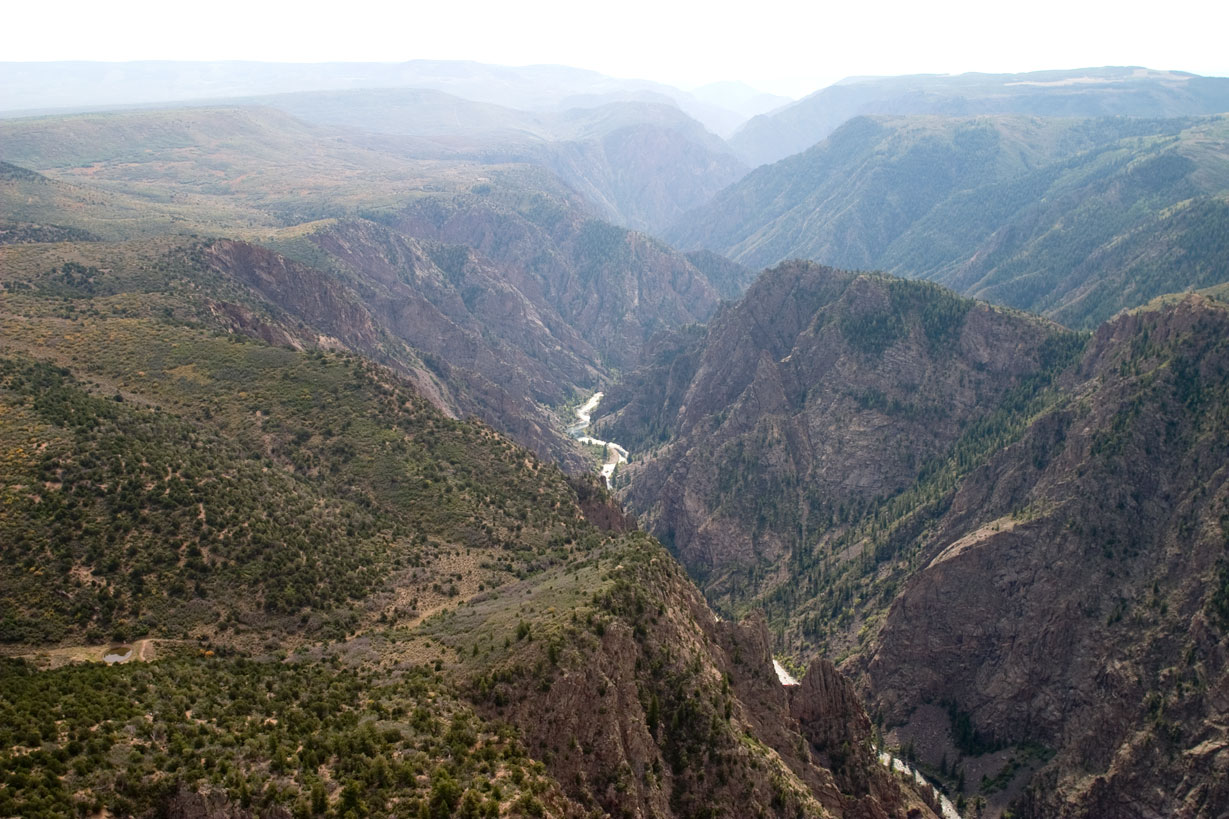
Black Canyon of the Gunnison National Park Weather: Weather
First-time visitors are often caught off guard by the temperature gradient between rim and river. Updated for 2026 with 5 Black Canyon of the Gunnison National
Sign in to join the conversation.
Sources & Attribution
Location data courtesy of the National Park Service (U.S. Department of the Interior). NPS data is public domain.
Images: NPS; NPS; NPS; NPS; NPS.
Map data © OpenStreetMap contributors.
Park operations alerts: NPS.gov · Weather and weather hazards: National Weather Service · Live conditions.
Information may change. Always verify fees, hours, and conditions directly with the official source before visiting.
Did this guide help? Share it with a friend.