Start before 7 AM if you plan to drive the full Tioga Road and stop at every major viewpoint. By 10 AM the lots at Olmsted Point and Tenaya Lake are full, and you'll be circling for parking instead of enjoying the view. The park has no designated off-road trails for recreational vehicles - the "jeep trails" here are the paved scenic routes that demand a capable vehicle only for their high-altitude grades and tight switchbacks. That said, any passenger car can complete these drives; a jeep just gives you better clearance for the unimproved pullouts and a more comfortable ride on the rougher sections near the park's eastern boundary.
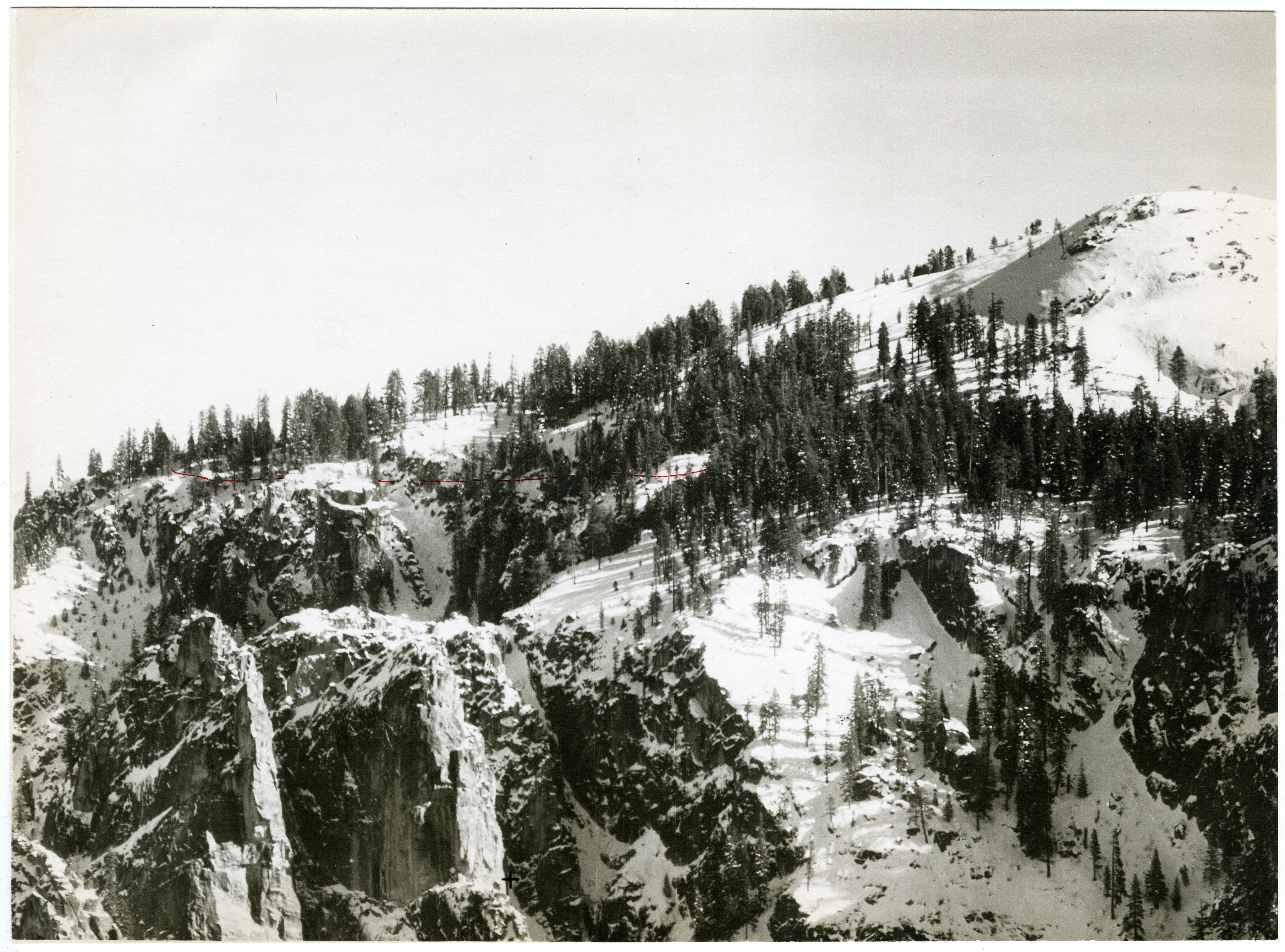
NPS via NPS.gov (Public Domain)
Yosemite National Park Scenic Drives: Yosemite Jeep Trails
3 min read
Scenic Drives
Drive Tioga Road before 7 AM to beat crowds at Olmsted Point and Tenaya Lake; the 95-mile round trip takes 4-6 hours with stops.
Related reading: best time to visit.
The Drive at a Glance
- Total distance and typical time with stops: 95 miles round trip on Tioga Road (Crane Flat to Tuolumne Meadows and back) - plan for 4-6 hours including stops. Glacier Point Road is 16 miles one way (32 round trip) and takes 2-3 hours with stops.
- One-way vs two-way direction: Tioga Road is a two-way road (Highway 120 through the park). Glacier Point Road is a dead-end spur - you must return the same way.
- Road surface and vehicle restrictions: Scenic drives: Yosemite's main scenic roads are fully paved with good condition as of 2026. No high clearance required. Glacier Point Road is narrow with no shoulders in places; large RVs (over 25 feet) are prohibited after a certain point. Tioga Road has no RV restrictions but has many tight turns and steep grades - expect slow going with a large vehicle.
- When the road opens (seasonal): Tioga Road typically opens late May to mid-June and closes with the first heavy snow (often November). Glacier Point Road opens April-May and closes November-December depending on snow. Check the park's road conditions page before going.
- Best direction to drive and why: Drive Tioga Road from west to east in the morning - you'll have the sun at your back for most of the day, and you reach the high country (Tuolumne Meadows) by midday when the light is best. For Glacier Point Road, go early - the viewpoint faces west, so morning light is harsh; late afternoon is better, but you'll have crowds.
Stop by Stop
Olmsted Point
What you actually see from here: Half Dome appears as a distant gray fin, the Tenaya Canyon drops away below, and Clouds Rest dominates the northern skyline. To the east, the Sierra crest stretches from Mount Conness to Mount Dana. The most notable feature is the polished granite slab beneath your feet - you can see glacial striations from the last ice age.
Best time of day for photography: Mid-morning (10-11 AM) when the sun illuminates the face of Half Dome without casting the canyon into deep shadow. Afternoon light is flat.
How long to spend: 20 minutes for a quick stop; 40 minutes if you scramble down the granite slabs to find the small meadow with a reflecting pond.
What most visitors miss: A short (0.25 mile) unmarked walk northeast from the parking area leads to a large boulder field with views into the backcountry. The official pullout is crowded; the rocks 100 yards east are empty.
Hiking access: The Tenaya Lake Trail starts 0.5 miles east of Olmsted Point - a flat, 2-mile hike along the lake's north shore. For details, see the hiking trails guide.
Tenaya Lake
What you actually see from here: A large alpine lake (elevation 8,150 feet) with a gravel beach on the northeast shore. The lake is shallow in spots, and in late June the water is still cold (50-55°F). Granite domes surround it - Pywiack Dome to the west, Tenaya Peak to the east. The water clarity is impressive; you can see rocks 15 feet down on a calm day.
Best time of day for photography: Late afternoon (3-5 PM) when the sun lights the domes from the west and the water is rippled with wind. Wasted in flat midday light.
How long to spend: 30 minutes minimum - stop on the west end for the beach, then drive to the east end for the classic reflection shot.
What most visitors miss: The south shore has a short trail through thick manzanita that leads to a hidden co
For more information, see our complete Yosemite National Park Guide.
Sources
- Official source: NPS — Yosemite National Park nps.gov/yose/index.htm
More to Explore

Park Guide
Acadia National Park: Carriage Roads, Cadillac Mountain & 2026 Guide
Discover carriage roads, Cadillac Mountain, and rugged Maine coast. Complete 2026 guide to Acadia National Park — trails, fees, lodging, permits, and what rangers recommend.

Hiking Guide
Grand Canyon Hiking Trails: Day Hikes, Water Sources & Rim to Rim
Compare Grand Canyon hiking trails: Bright Angel, South Kaibab, Hermit, Grandview, and rim to rim, with distances, elevation, water stops, and trailhead access for each.

Best Of
Best of Glacier Bay National Park
The best of Glacier Bay is reached by boat: ranger-led day tours up the bay to the tidewater glaciers. What's worth it, how to book, and when to go (2026).

Campsite Guide
White Sands Backcountry Camping: Closed for 2026 — What to Know
As of 2026, backcountry camping at White Sands National Park is closed for site rehabilitation. What that means, and where to camp nearby instead.

Weather Guide
Guadalupe Mountains National Park Weather: Weather
Guadalupe Mountains National Park: weather guide guide updated 2026. Practical visitor information, reservations, and seasonal tips worth bookmarking before

Best Of
Best of Cuyahoga Valley National Park: Best Things to Do
Seeing a Cleveland Orchestra concert with the woods as your backdrop is a uniquely Cuyahoga Valley experience.
Sign in to join the conversation.
Sources & Attribution
Location data courtesy of the National Park Service (U.S. Department of the Interior). NPS data is public domain.
Images: NPS.
Map data © OpenStreetMap contributors.
Park operations alerts: NPS.gov · Weather and weather hazards: National Weather Service · Live conditions.
Information may change. Always verify fees, hours, and conditions directly with the official source before visiting.
Did this guide help? Share it with a friend.