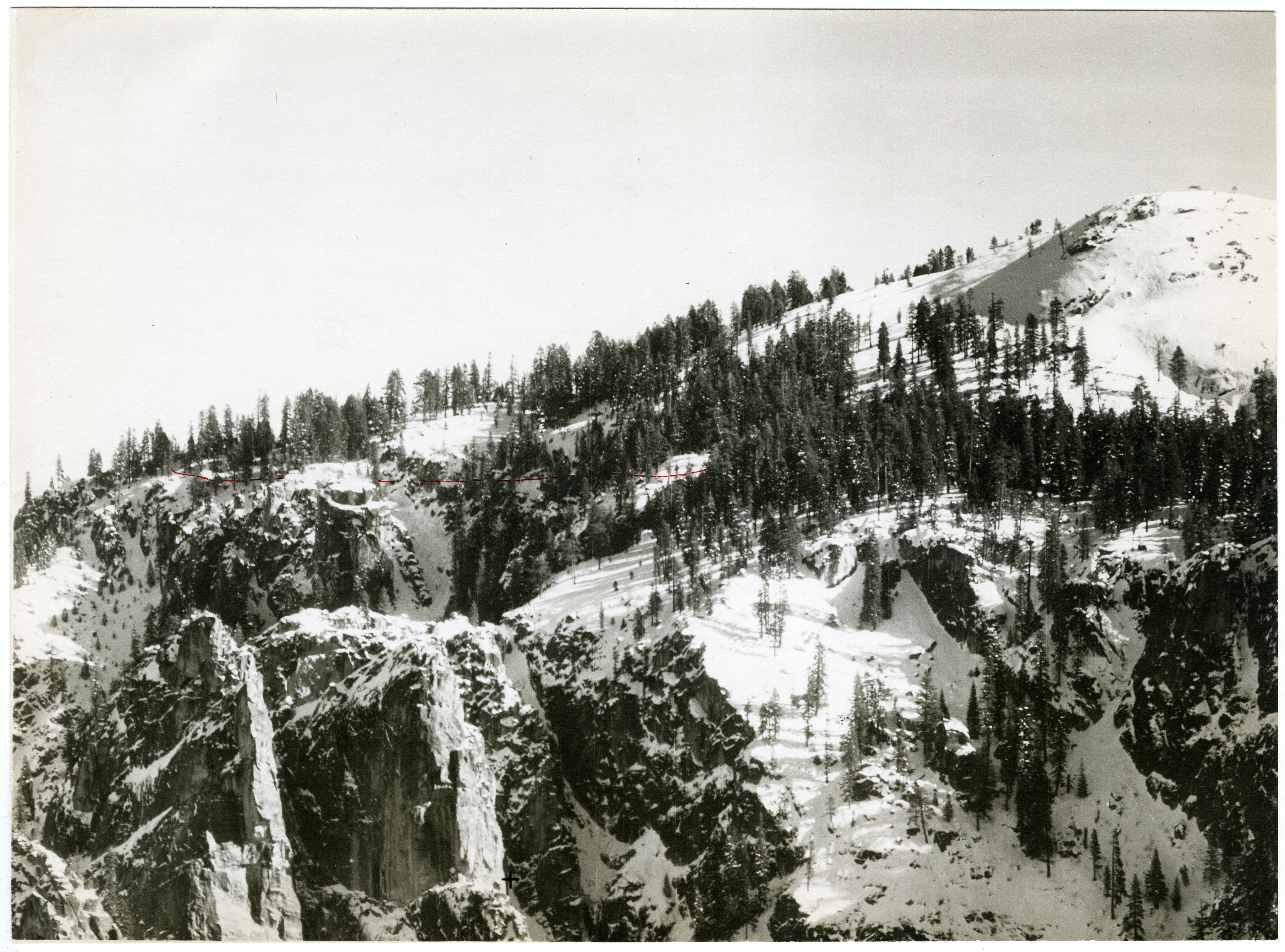
The Sierra Nevada creates its own weather systems. Pacific storms drop most of their moisture on the western slope, meaning the Valley gets substantial precipitation - about 36 inches annually - while areas just east of the crest stay dry. What this means for your visit: a forecast of "partly cloudy" in El Portal often means something entirely different when you're standing at Curry Village looking up at Half Dome.
Weather tomorrow near Curry Village Yosemite Valley will follow the same pattern that defines this place: cold mornings that warm fast, afternoon potential for thunderstorms between June and August, and conditions that can shift from clear to socked-in within an hour. If you're planning hiking in Yosemite Valley, the morning window is your best card to play.
Month by Month
Spring (March through May)
March brings the most unpredictable weather in the Valley. Daytime highs range from 50 to 65°F, but overnight lows frequently dip below freezing. Snow at Curry Village elevation is possible through mid-month, though it rarely accumulates more than a few inches. The waterfalls are running hard from snowmelt - this is when Yosemite Falls is at its most impressive.
April sees warming trends but remains wet. Expect rain on roughly half the days, mixed with sun breaks. Highs climb into the mid-60s. The Valley floor starts greening up, and dogwoods bloom along the Merced River corridor. Trails below 6,000 feet become passable but muddy.
May transitions toward dry conditions by month's end. Highs reach 70-75°F. Snow lingers on north-facing slopes above 7,000 feet. This is when hiking at Yosemite National Park starts becoming serious business again - the lower elevation trails are in good shape, though the high country remains buried.
What makes spring worth it: The waterfalls. Full stop. Yosemite Falls, Bridalveil, and Vernal are running at peak volume. You also get smaller crowds than summer and wildflowers starting in April.
What makes it hard: Rain gear is mandatory. Trails are slick. Tioga Road typically doesn't open until late May or early June, so hiking in Yosemite Park's high country isn't an option yet.
Summer (June through September)
June is the sweet spot for hiking trails in Yosemite Valley. Highs sit around 80°F. The waterfalls are still flowing strong early in the month but start tapering by late June. Tioga Road opens, granting access to Tuolumne Meadows and the northern high country. This is when hiking Yosemite Falls becomes possible - the trail up to the top typically clears of snow by mid-month.
July brings peak heat and peak crowds. Afternoon highs in the Valley hit 85-92°F. Thunderstorms develop almost daily over the high country - they usually roll in around 1 PM and clear by 5 PM. The Merced River runs cold but swimmable in spots. Lightning risk on exposed granite is real. Rangers will tell you flatly: do not be above treeline after noon.
August stays hot in the Valley - similar to July - but the waterfalls are reduced to trickles by now. Yosemite Falls often goes completely dry. The high country offers relief at 8,000-9,000 feet where daytime highs stay in the 70s. Hiking trails in Yosemite National Park at elevation are in prime condition through August.
September begins the transition. Valley highs drop to 75-80°F early in the month, cooling to 70°F by the end. Thunderstorms become less frequent. Crowds thin after Labor Day. The high country remains accessible, though overnight lows dip to near freezing by late September. This is the best month for hiking in Yosemite Valley without the summer mob scene.
Trail conditions to know: Pack extra water for this stretch. The Mist Trail up to Vernal and Nevada Falls gets slick from spray - the granite steps are polished smooth by hundreds of thousands of footsteps and water. The elevation gain is worth it, but your legs will remind you on the descent.
Fall (October through November)
October delivers the most stable weather in the Valley. Highs range 65-75°F, lows 35-45°F. Clear skies dominate. The dogwoods and black oaks along the Valley floor turn gold and red. Tioga Road remains open until the first significant snow, which is usually late October or early November. This is the quietest window for hiking trails in Yosemite Park before winter sets in.
November can go either way. Early November often holds fine autumn weather. By mid-month, storms start rolling through the Sierra with increasing frequency. The first substantial snowfall at Curry Village elevation typically arrives mid-to-late November. Daytime highs drop to 50-55°F. Tioga Road closes for the season. Most high country trails are off-limits.
What makes fall worth it: The light. Clear skies mean the granite catches the low-angle sun for hours. Crowd levels drop 60% from August. The hiking through the Valley floor is comfortable all day.
What makes it hard: Days are short. Sunlight in the Valley bottom disappears early behind the rim - by 3 PM in November you're in shade. Camping options become limited as some facilities close for winter.
Winter (December through February)
Winter in Yosemite Valley is colder and wetter than most visitors expect. Daytime highs average 45-50°F from December through February. Overnight lows drop to 25-30°F. Snow accumulations in the Valley measure 12-24 inches total for the season, but individual storms can drop 6-12 inches at once.
December has the shortest days - roughly 9.5 hours of daylight. The Valley gets about 6 inches of precipitation, mostly rain at the lowest elevations and snow above 5,000 feet. The waterfalls freeze partially on their shady faces.
January is the coldest month. Highs barely crack 45°F. Snow covers the Valley floor for days or weeks at a time. Badger Pass Ski Area opens, providing downhill and cross-country options. The park is remarkably quiet - winter weekday visitation is maybe 5% of July levels.
February starts the slow warming trend. Daytime highs reach 50-55°F by month's end. Storm frequency remains high. This is avalanche season in the high country, though Curry Village elevation has minimal avalanche risk.
What makes winter worth it: No crowds. Half the park to yourself. The Valley in snow is a different world - quieter, colder, sharper. You can hear the Merced River running under ice. If you have the gear and the flexibility, this is when you see Yosemite as it was before the tourists found it.
What makes it hard: Road closures. Chains required frequently. Many trails become impassable without mountaineering gear. Glacier Point Road closes. The Mist Trail closes above the footbridge. Day hikes are limited to the Valley floor and a few lower elevation routes.
Best Times for Specific Activities
Hiking the High Country
The hiking trails in Yosemite National Park above 8,000 feet are accessible roughly from late June through October. July and August offer the most reliable conditions. Hiking Yosemite Falls works from May through June for the full ascent; by August the upper falls are dry and the trail is hot. For the high country around Tuolumne Meadows - Cathedral Lakes, Clouds Rest, Tenaya Lake - plan August through September.
Wildlife Viewing
Black bears are active from April through November, with peak sightings in early summer when they descend to the Valley floor after emerging from dens. Mule deer concentrate in meadows during spring and fall. Keep an eye out for peregrine falcons on the sheer granite faces - they nest on El Capitan and Washington Column from March through July. Bird activity peaks during May migration.
Wildflower Season
The Valley floor blooms from March through May - California poppies, lupine, shooting stars along the Merced banks. The high country's alpine flowers peak in July, about six weeks after snowmelt. The Dana Plateau and Tuolumne Meadows show heavy color in mid-to-late July.
Fall Color Timing
Black oaks and dogwoods along the Valley floor peak in late October. Big-leaf maples near the eastern end of the Valley turn gold around the same time. The cottonwoods along the Merced corridor - particularly near El Capitan Meadow - peak the third week of October in most years.
Stargazing
Clear skies from June through October offer the best viewing. The Valley floor has moderate light pollution from Curry Village and Yosemite Village, but walk 10 minutes away from developed areas and the Milky Way becomes visible to the naked eye. Winter skies are sharper but cold. July and August evening thunderstorms limit visibility on roughly 1 in 3 nights.
Winter Sports Window
Badger Pass operates from mid-December through March. Cross-country routes around Crane Flat and Glacier Point Road stay skiable through April in heavy snow years. The Valley floor rarely has enough snow for skiing - it's more of a rain-on-snow zone.
What to Pack by Season
Spring and Fall (March-May, October-November): You will dress for four seasons in one day. Start with a base layer, add an insulating mid-layer, and carry a waterproof shell in your daypack. The morning might be 38°F with drizzle. By 2 PM you could be stripping to a T-shirt under full sun at 70°F. By 5 PM the shadow hits Curry Village and you're back in the fleece. Bring gloves and a beanie for early starts. Waterproof boots are not optional - the trails stay muddy through May and again in November.
Summer (June-September): The heat in the Valley is real, but the real hazard is afternoon thunderstorms. Your daypack needs: a lightweight rain jacket (it doubles as wind protection above treeline), at least 3 liters of water capacity for a full day hike, sun protection (hat, sunscreen, sunglasses), and a headlamp even on day hikes. The UV exposure at altitude is brutal - you will burn in 20 minutes on exposed granite at 8,000 feet. Most visitors underestimate how cold it gets after the sun drops behind the Valley rim, which happens as early as 3:30 PM in some canyon-adjacent trail sections. Pack a fleece or puffy jacket for the hike back out.
Winter (December-February): This is serious cold-weather gear territory. Insulated waterproof boots, gaiters, multiple insulating layers, a shell that handles snow and wind, gloves with liners, a warm hat, and hand warmers. Tire chains are mandatory - the park requires them in your vehicle regardless of your tires. A headlamp is essential because days are short and you will be hiking in the dark if you start after 10 AM. Microspikes or similar traction devices for your boots - the Valley trails turn into ice sheets after freeze-thaw cycles.
Yosemite-specific gear note: Anything you bring will get damp. The Valley stays humid from the waterfalls and river. Gear that dries fast matters more here than in the desert parks. Cotton kills - once it's wet from rain or sweat, it stays wet all day.
What the Forecast Doesn't Tell You
1. The Valley has its own microclimate. The forecast for Yosemite Valley (4,000 feet) often bears little resemblance to Yosemite West (6,000 feet) or Tuolumne Meadows (8,600 feet). A sunny 75°F day in the Valley can mean 58°F and fog at Glacier Point. Check the specific elevation forecast, not the park-wide one.
2. Afternoon thunderstorms form fast. The forecast might say "30% chance of thunderstorms" for July. What that actually means: clear skies at 10 AM, clouds building by noon, thunder by 1:30 PM, lightning within two miles of your position by 2 PM, and a hard rain or hail for 20 minutes. The "30%" is a spatial probability, not a temporal one. If you're above treeline, that 30% is basically "plan to be back down by lunch."
3. The temperature swing will surprise you. Valley February days might hit 50°F. That same night drops to 28°F. But in summer, the swing is larger than the raw numbers suggest because of the sun's intensity. A 90°F afternoon in July feels like 100°F on exposed granite reflecting heat. By 6 PM in the shade, it feels like 70°F. That 20-degree difference happens in 30 minutes when the sun goes behind the rim.
4. Winter storms arrive in batches. The Sierra gets atmospheric river events - 2-4 days of heavy precipitation followed by clearing. A single storm can drop 3-5 feet of snow at Tioga Pass while leaving 6 inches of rain in the Valley. The "partly cloudy" forecast after a storm passes is often wrong - orographic lift keeps clouds hanging on the western slope even when satellite shows clear air.
5. Wind is a bigger factor than people expect. The Valley channels winds from the west, and afternoon thermal winds pull air up the canyon. Gusts of 30-40 mph are common on summer afternoons above 6,000 feet. On Half Dome's cables section, this makes a real difference - it's not just about rain, it's about getting blown off balance on sheer granite.
6. The best weather is often the worst for photography. Clear blue skies produce harsh shadows on granite faces. The classic Ansel Adams light comes from thin cloud cover that softens shadows and adds texture. A forecast of "mostly cloudy" is often better for pictures than "sunny."
7. Smoke season is real. July through September brings wildfire smoke from the Sierra and surrounding forests. The forecast won't tell you about smoke. Check AirNow.gov or the park's air quality page. A smoky 80°F day is worse than a clear 90°F day for hiking - you're breathing particulate and the views drop to a mile or less.
Practical Takeaways
- Morning is the only reliable window. Start any hike before 8 AM in summer. The weather - and the crowds - both get worse after noon.
- Layer like you're climbing a mountain in the Valley. Because you are, even if you're just walking the Valley floor. The temperature difference between 7 AM and 2 PM is 30-40°F year-round.
- Check the Tioga Road status before planning high country trips. It opens late May or early June and closes with the first significant snow, typically November 1. This is the most common trip planning mistake.
- August hiking in Yosemite Valley means dry waterfalls. If you want to see Yosemite Falls running, come in May or June. By August, the famous falls are a bare granite face.
- Thunderstorm season is June through September. The rule is simple: summit by noon. If you're on exposed granite after 1 PM, you're gambling. Rangers at the visitor center emphasize this constantly for good reason.
- Winter requires tire chains even if it's dry in the Valley. The checkpoint on Highway 140 at El Portal and Highway 41 at the south entrance will turn you back without chains, regardless of your vehicle's capabilities. This is not a suggestion.
- The forecast for weather tomorrow near Curry Village Yosemite Valley is a starting point, not a plan. Check it, then assume conditions will be worse than predicted for the time of day you'll actually be active. If it says 30% chance of rain, bring the rain jacket. If it says sunny with a high of 85°F, bring the rain jacket anyway. The Sierra doesn't follow forecasts - it makes its own weather.
For more information, see our complete Yosemite National Park Guide.
Related: hiking in yosemite national park guide
Related: hiking in yosemite guide