If you plan to drive anything beyond Park Boulevard or Pinto Basin Road, the single most important thing to know is this: the backcountry dirt roads in Joshua Tree require high clearance, and some require four-wheel drive. Geology Tour Road, the park's most accessible jeep trail, is a firm test of whether your rental SUV actually has what it claims. The park's complete visitor guide has the full orientation, but this article covers exactly what you need for the joshua tree national park jeep trails - which roads are worth your time, what you'll see from each pullout, and how to avoid getting stuck.
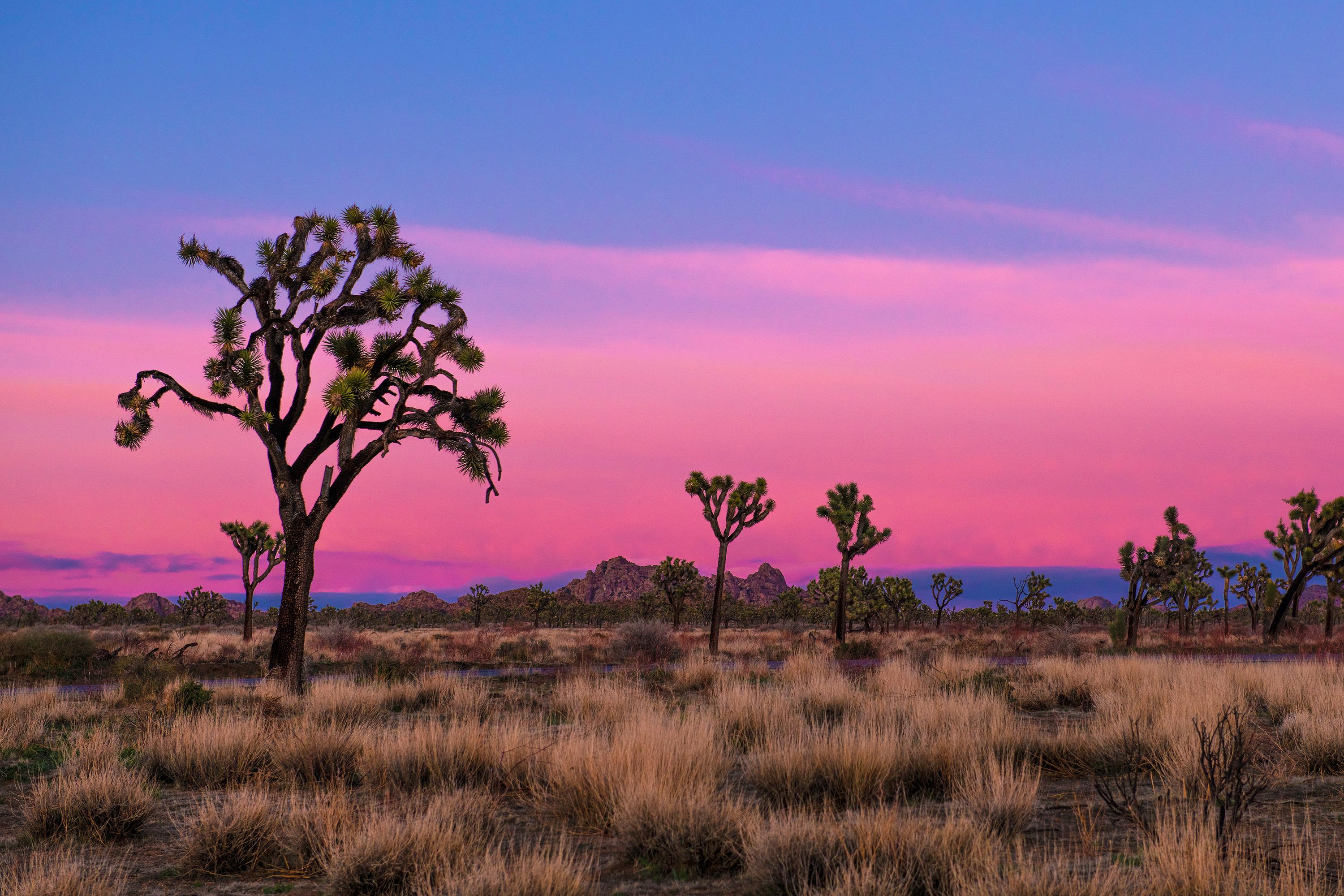
NPS via NPS.gov (Public Domain)
Joshua Tree National Park Scenic Drives: Jeep Trails (2026)
6 min read
Scenic Drives
Geology Tour Road is an 18-mile one-way jeep trail in Joshua Tree National Park that requires high clearance and dry weather.
The Drive at a Glance
- Total distance: Geology Tour Road runs 18 miles one-way (not a loop - you exit at the south end onto Pinto Basin Road)
- Typical time with stops: 2-3 hours minimum. With photography and short walks, plan on 3-4.
- Direction: Drive it north to south. Start at the North Entrance near Twentynine Palms and exit at the south junction with Pinto Basin Road. This direction keeps the sun at your back for most of the afternoon.
- Road surface: Packed dirt and sand with rocky sections. Dry weather only. When wet, this road closes immediately - the clay turns to grease and you will not get traction.
- Vehicle requirements: High clearance required. Four-wheel drive recommended but not strictly mandatory in dry conditions. Do not attempt with a standard sedan or minivan.
- When it's open: Year-round, weather permitting. After rain, check the NPS alerts page before heading out.
The park's joshua tree park hiking trails are accessed from multiple points along this route, but the drive itself is the attraction here - wide-open Mojave Desert, scattered Joshua tree forests, and the kind of silence that makes you check your hearing.

Stop by Stop
Geology Tour Road Trailhead (North End)
This is where you commit. The pavement ends, the dirt begins, and a large sign lists vehicle requirements. The first mile is the most misleading - it's smooth and wide, which tricks people into thinking the whole road is this easy. It is not.
You'll see the Wonderland of Rocks to your west, a jumble of granite monoliths that look like someone dropped a mountain and let it shatter. Early morning is your best bet for photography here - the low light catches the quartz crystals in the rock faces.
How long to spend: 5 minutes. Sign the register if there is one, air down your tires if you're experienced, and keep moving.
Squaw Tank
About 3 miles in, the road passes through a dry wash and opens into a wide basin. This is Squaw Tank, a natural catchment that holds water after heavy rains. Most of the year it's bone-dry, but after a wet winter you might see standing water and the birds that come with it.
From this overlook you can see the transition between the Mojave and Colorado deserts happening right in front of you - the Joshua trees thin out, the creosote bush takes over, and the soil shifts from sandy loam to reddish gravel.
California Riding and Hiking Trail Crossing
At roughly mile 7, the road crosses the California Riding and Hiking Trail. This is a popular backpacking route, and you'll often see hikers with large packs crossing here.
What most visitors miss: The old mining claim markers along the road just past this crossing. Small wooden stakes and rock cairns mark claims from the 1930s that never produced much.
Pleasant Valley
Mile 10 opens into a wide, flat valley with good views of the Eagle Mountains to the south. The road surface here is sandier - keep your speed steady and avoid sudden steering inputs. Cell service drops out at about this point, and it won't return until you hit Pinto Basin Road.
This is a good spot for a longer stop. The valley floor has a surprising amount of wildflower bloom in March and April - desert dandelion, brittlebush, and the occasional barrel cactus flower.
The Maze
Between miles 12 and 15, the road enters a section of tight washes and low rock ridges called the Maze. This is the slowest part of the drive - expect 5-8 mph through here. The trail narrows here significantly, and rocks protrude into the roadbed.
Rangers will tell you this is where most drivers turn around. Don't. The terrain looks worse than it is if you take your time and pick your lines carefully. Drop to low range if you have it.
South Junction (Pinto Basin Road)
The road ends at a T-junction with Pinto Basin Road. Turn left to reach the South Entrance and I-10 in about 20 miles. Turn right to head back toward the park interior and the Cholla Cactus Garden.
The transition is abrupt - one moment you're on dirt, the next you're back on pavement. Check your tire pressure here if you let air out at the start.

Timing and Crowds
Geology Tour Road is open 24 hours a day when conditions permit, but you don't want to be on it in the dark unless you know exactly what you're doing. The road has no markings, no reflectors, and plenty of things you can hit.
Best time of year: October through April. Summer temperatures exceed 100°F (38°C) by 10 AM, and the heat radiating off the desert floor makes for an uncomfortable, dangerous drive. The best time to visit is late fall or early spring when highs sit around 85°F (29°C) and lows hover near 50°F (10°C).
Best time of day: Start by 8 AM. This puts you through the Maze before the sun gets high and gives you enough light to handle the slower sections. You'll finish by late morning, which leaves the afternoon for other activities.
Crowds: This road sees maybe 10 percent of the park's traffic. Tour buses don't drive it. Rental cars don't attempt it. On a weekday in November, you might see three other vehicles the entire 18 miles.

Driving Logistics
Parking: The north trailhead has space for about 15 vehicles. The south junction has no designated parking - you pull off onto the shoulder. If the lot is full at the north end, the road is likely busier than usual.
Gas: Fill up in Twentynine Palms before entering the park. There is no fuel inside Joshua Tree. The nearest gas after starting the drive is back in Twentynine Palms or south at the I-10 exits near Chiriaco Summit.
Cell service: Reliable zero from mile 7 until you hit Pinto Basin Road. Download offline maps before you start. The NPS app has the Geology Tour Road route saved as an offline map - use it.
RV length restrictions: Do not take anything over 20 feet on Geology Tour Road. There are tight turns in the Maze section and low-hanging branches that will scrape a roof or slide-out. Motorhomes, large trailers, and camper vans should stick to paved roads.
What to carry: Full-size spare tire, jack that actually works on dirt, tow strap, and at least 2 gallons of water per person. A shovel and traction boards are smart additions. The park service emphasizes that recovery services are expensive and slow - you may wait 4+ hours for a tow.

Practical Takeaways
- Start at the north end and drive south. The sun angle favors this direction, and you finish closer to I-10 for an easy exit.
- Check the weather for the three days before your drive. If it has rained within 72 hours, the road may be closed or impassable. Call the visitor center at 760-367-5500 before heading out.
- Allow 3 hours minimum. Rushing through the Maze is how you scrape a rock rail or puncture a tire.
- The best photography happens in the first and last hours of daylight. Midday light flattens everything into a white haze.
- Ignore third-party hiking apps for this route. The official NPS app is the only reliable source for trail and road conditions - some third-party apps have been giving inaccurate information.
- Pack out everything you bring in. There are no trash cans on this road.
- If you don't have high clearance and four-wheel drive, don't attempt it. Park Boulevard and Pinto Basin Road offer excellent paved scenic driving with similar desert views and none of the risk.
For more information, see our complete National Park Guide.
Related: joshua tree hiking guide
Related: trails in joshua tree guide
Sources
- Official source: NPS — Joshua Tree National Park nps.gov/jotr/index.htm
Photo Gallery
More to Explore

Park Guide
Acadia National Park: Carriage Roads, Cadillac Mountain & 2026 Guide
Discover carriage roads, Cadillac Mountain, and rugged Maine coast. Complete 2026 guide to Acadia National Park — trails, fees, lodging, permits, and what rangers recommend.

Hiking Guide
Grand Canyon Hiking Trails: Day Hikes, Water Sources & Rim to Rim
Compare Grand Canyon hiking trails: Bright Angel, South Kaibab, Hermit, Grandview, and rim to rim, with distances, elevation, water stops, and trailhead access for each.

Best Of
Best of Glacier Bay National Park
The best of Glacier Bay is reached by boat: ranger-led day tours up the bay to the tidewater glaciers. What's worth it, how to book, and when to go (2026).

Campsite Guide
White Sands Backcountry Camping: Closed for 2026 — What to Know
As of 2026, backcountry camping at White Sands National Park is closed for site rehabilitation. What that means, and where to camp nearby instead.

Weather Guide
Guadalupe Mountains National Park Weather: Weather
Guadalupe Mountains National Park: weather guide guide updated 2026. Practical visitor information, reservations, and seasonal tips worth bookmarking before

Best Of
Best of Cuyahoga Valley National Park: Best Things to Do
Seeing a Cleveland Orchestra concert with the woods as your backdrop is a uniquely Cuyahoga Valley experience.
Sign in to join the conversation.
Sources & Attribution
Location data courtesy of the National Park Service (U.S. Department of the Interior). NPS data is public domain. Official NPS page.
Images: NPS; NPS; NPS; NPS; NPS.
Map data © OpenStreetMap contributors.
Park operations alerts: NPS.gov · Weather and weather hazards: National Weather Service · Live conditions.
Information may change. Always verify fees, hours, and conditions directly with the official source before visiting.
Did this guide help? Share it with a friend.